
County Cleburne Time zone Central (CST) (UTC-6) Elevation 293 m Local time Sunday 12:16 AM Area code 256 | State Alabama Incorporated 1886 FIPS code 01-33976 Zip code 36264 Population 3,509 (2013) | |
 | ||
Weather 13°C, Wind N at 10 km/h, 36% Humidity Area 42.22 km² (41.7 km² Land / 52 ha Water) | ||
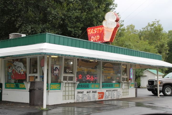
Heflin alabama my town
Heflin is a city in Cleburne County, Alabama, United States. At the 2010 census the population was 3,480. The city is the county seat of Cleburne County.
Contents
- Heflin alabama my town
- Map of Heflin AL 36264 USA
- 3280 county road 36 heflin alabama
- History
- Geography
- 2010
- 2000
- Education
- Media
- Notable people
- References
Map of Heflin, AL 36264, USA
3280 county road 36 heflin alabama
History
Heflin was first settled in 1882 as a station on the railroad line from Atlanta. The town quickly grew and was incorporated in 1886. Until 1905, the County Seat of Cleburne County had been located at Edwardsville. In 1905, an election was held to move the county seat from Edwardsville to Heflin. The election results favored Heflin and were appealed to and upheld by the Alabama Supreme Court on July 1, 1906.
Geography
Heflin is located at 33°38'37.514" North, 85°34'57.724" West (33.643754, −85.582701).
According to the U.S. Census Bureau, the city has a total area of 12.0 square miles (31 km2), of which 11.8 square miles (31 km2) is land and 0.2 square miles (0.52 km2) (1.50%) is water.
2010
As of the census of 2010, there were 3,480 people, 1,384 households, and 925 families residing in the city. The population density was 216.9 people per square mile (83.7/km²). There were 1,531 housing units at an average density of 93.9 per square mile (36.4/km²). The racial makeup of the city was 87.3% White, 9.4% Black or African American, 0.5% Native American, 0.1% Asian, 1.0% from other races, and 1.6% from two or more races. 2.4% of the population were Hispanic or Latino of any race.
There were 1,384 households out of which 28.0% had children under the age of 18 living with them, 48.5% were married couples living together, 13.2% had a female householder with no husband present, and 33.2% were non-families. 29.3% of all households were made up of individuals and 14.4% had someone living alone who was 65 years of age or older. The average household size was 2.39 and the average family size was 2.94.
In the city, the population was spread out with 22.6% under the age of 18, 8.6% from 18 to 24, 24.9% from 25 to 44, 26.1% from 45 to 64, and 17.8% who were 65 years of age or older. The median age was 40.5 years. For every 100 females there were 90.5 males. For every 100 females age 18 and over, there were 97.5 males.
The median income for a household in the city was $29,821, and the median income for a family was $37,050. Males had a median income of $41,932 versus $25,714 for females. The per capita income for the city was $16,909. About 15.6% of families and 22.0% of the population were below the poverty line, including 29.5% of those under age 18 and 15.9% of those age 65 or over.
2000
As of the census of 2000, there were 3,002 people, 1,218 households, and 824 families residing in the city. The population density was 254.0 people per square mile (98.1/km²). There were 1,330 housing units at an average density of 112.5 per square mile (43.4/km²). The racial makeup of the city was 85.88% White, 11.83% Black or African American, 0.23% Native American, 0.33% Asian, 0.77% from other races, and 0.97% from two or more races. 1.93% of the population were Hispanic or Latino of any race.
There were 1,218 households out of which 28.9% had children under the age of 18 living with them, 52.3% were married couples living together, 11.7% had a female householder with no husband present, and 32.3% were non-families. 29.1% of all households were made up of individuals and 15.7% had someone living alone who was 65 years of age or older. The average household size was 2.38 and the average family size was 2.94.
In the city, the population was spread out with 22.4% under the age of 18, 8.5% from 18 to 24, 24.9% from 25 to 44, 25.2% from 45 to 64, and 19.1% who were 65 years of age or older. The median age was 40 years. For every 100 females there were 91.1 males. For every 100 females age 18 and over, there were 88.4 males.
The median income for a household in the city was $28,398, and the median income for a family was $38,600. Males had a median income of $29,545 versus $20,676 for females. The per capita income for the city was $15,452. About 11.9% of families and 16.3% of the population were below the poverty line, including 27.0% of those under age 18 and 18.4% of those age 65 or over.
Education
Public education is provided in Heflin by the Cleburne County Board of Education. Public schools in Heflin include:
Cleburne County High School (grades 8 through 12)Cleburne County Career Technical School (grades 9 through 12)Cleburne County Middle School (grades 5 through 7)Cleburne County Elementary School (grades K through 6)Pleasant Grove Elementary School (grades K through 6)