Girish Mahajan (Editor)

Simeon Peak

Updated on
Edit
Like
Comment
Share on FacebookTweet on TwitterShare on LinkedInShare on Reddit
Parent range
  
Tangra Mountains

Mountain range
  
Tangra Mountains

Elevation
  
1,576 m

Simeon Peak

Location
  
Livingston Island, South Shetland Islands, Antarctica

First ascent
  
16 January 2017 Doychin Boyanov, Nikolay Petkov and Nedelcho Hazarbasanov

Similar
  
St Cyril Peak, Mount Friesland, Deception Island

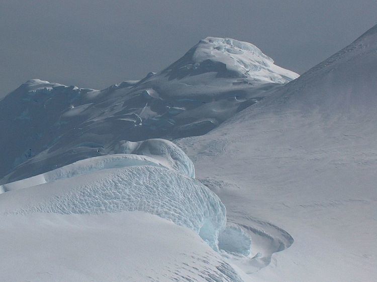
Simeon Peak (Vrah Simeon \'vr&h si-me-'on) rises to 1,580 m in Friesland Ridge, Tangra Mountains, Livingston Island in the South Shetland Islands, Antarctica. The peak is heavily glaciated, connected to St. Boris Peak to the northeast by Paril Saddle, and surmounts Huntress Glacier to the northwest, Ruen Icefall to the southwest, and Macy Glacier to the east. It was first ascended and GPS-surveyed by the Bulgarian climbers D. Boyanov, N. Petkov and N. Hazarbasanov from Nesebar Gap via the head of Huntress Glacier, Academia Peak, St. Boris Peak and Paril Saddle on 16 January 2017.

Contents

Map of Simeon Peak, Antarctica

The peak is named after Czar Simeon the Great of Bulgaria, 893-927 AD.

Location

The peak is located at 62°41′27″S 60°12′25″W, which is 2.48 km south-southwest of Mount Friesland, 1.85 km south-southwest of St. Boris Peak and 1.69 km north of St. Cyril Peak. British mapping in 1968, Argentine in 1980, Spanish in 1991, and Bulgarian in 2005 and 2009 from topographic surveys in 1995/96 (estimated elevation 1576 m) and 2004/05.

Maps

  • South Shetland Islands. Scale 1:200000 topographic map No. 3373. DOS 610 – W 62 58. Tolworth, UK, 1968.
  • Islas Livingston y Decepción. Mapa topográfico a escala 1:100000. Madrid: Servicio Geográfico del Ejército, 1991.
  • S. Soccol, D. Gildea and J. Bath. Livingston Island, Antarctica. Scale 1:100000 satellite map. The Omega Foundation, USA, 2004.
  • L.L. Ivanov et al., Antarctica: Livingston Island and Greenwich Island, South Shetland Islands (from English Strait to Morton Strait, with illustrations and ice-cover distribution), 1:100000 scale topographic map, Antarctic Place-names Commission of Bulgaria, Sofia, 2005
  • L.L. Ivanov. Antarctica: Livingston Island and Greenwich, Robert, Snow and Smith Islands. Scale 1:120000 topographic map. Troyan: Manfred Wörner Foundation, 2010. ISBN 978-954-92032-9-5 (First edition 2009. ISBN 978-954-92032-6-4)
  • Antarctic Digital Database (ADD). Scale 1:250000 topographic map of Antarctica. Scientific Committee on Antarctic Research (SCAR), 1993–2016.
  • References

    Simeon Peak Wikipedia