
Founded 1994 | ||
 | ||
The Antarctic Place-names Commission was established by the Bulgarian Antarctic Institute in 1994, and since 2001 has been a body affiliated to the Ministry of Foreign Affairs of Bulgaria.
Contents
- Bulgarian names in Antarctica
- Toponymic guidelines
- Surveys and mapping
- International cooperation
- Antarctic names in Bulgaria
- Maps
- References
The Commission approves Bulgarian place names in Antarctica, which are formally given by the President of the Republic according to the Bulgarian Constitution (Art. 98) and the established international practice.
Bulgarian names in Antarctica
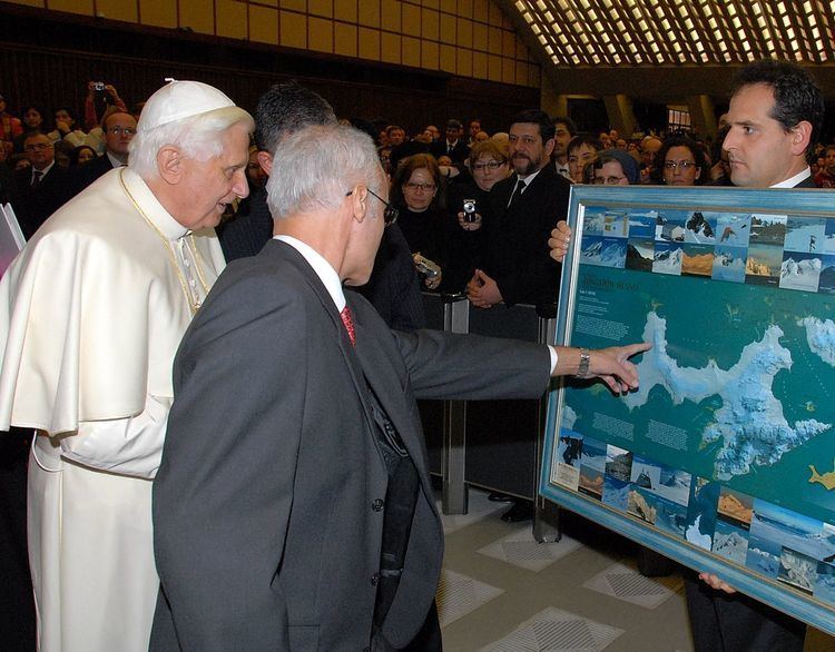
Geographical names in Antarctica reflect the history and practice of Antarctic exploration. The nations involved in Antarctic research give new names to nameless geographical features for the purposes of orientation, logistics, and international scientific cooperation. As of 2016, there are some 19,500 named Antarctic geographical features, including 1,335 features with names given by Bulgaria. Since the Bulgarian Antarctic base is situated in the South Shetland Islands, most of the Bulgarian place names are concentrated in that area too, especially on Livingston Island, Greenwich Island, Robert Island, Snow Island, and Smith Island. However, two early Bulgarian names were given even in 1989 (by the then State Council, a collegial presidency) to geographical features on Alexander Island in relation to field work carried out on that island by the first Bulgarian Antarctic expedition during the 1987/88 season.
Toponymic guidelines
In 1995 the Commission developed its own Toponymic Guidelines defining the relevant types of geographical features, specific elements of geographical names, inappropriate names, criteria of names approval, language and spelling, and names approval procedures. In particular, the Guidelines introduced the Streamlined System that was subsequently adopted as the official national system for the Romanization of Bulgarian, eventually becoming part of Bulgarian law by way of the 2009 Transliteration Law, and endorsed also by UN in 2012 and by the USA and UK in 2013.
In its practice, the Antarctic Place-names Commission has been giving priority to the following Antarctic geographic areas and features:
The Commission only considers for possible naming features that are nameless, well identified and provided with detailed standardized descriptions.
Surveys and mapping
The work of the Commission is supported by geographical information and mapping resulting from topographic surveys in Antarctica, such as the 1995/96 survey in Livingston Island, and the topographic survey Tangra 2004/05. Field work carried out during the latter survey has been noted by Discovery Channel as a timeline event in Antarctic exploration.
The Commission published the first Bulgarian topographic map of Livingston Island and Greenwich Island in 2005, and jointly with the Military Topographic Service of the Bulgarian Army, the first detailed topographic map of Smith Island in 2008.
International cooperation
The Antarctic Place-names Commission cooperates with other national authorities for Antarctic place names, and with the Scientific Committee on Antarctic Research (SCAR). Details of the Bulgarian Antarctic toponyms are published by the Commission’s website, and also by the international Composite Gazetteer of Antarctica maintained by SCAR.
Antarctic names in Bulgaria
In order to promote Antarctic exploration and the presence of Bulgaria in Antarctica, the Commission encourages Bulgarian municipalities to give relevant Antarctic names to public places. Several squares and streets in Bulgarian settlements are named after Livingston Island, such as Livingston Island Square in Samuil and Kula; Livingston Island Street in Gotse Delchev, Yambol, Petrich, Sofia, Lovech and Vidin; and Antarctica Street in Dzhebel.