
Country United States County Wells Elevation 249 m Local time Monday 10:34 PM | State Indiana GNIS feature ID 453811 Area 93.01 km² Population 1,579 (2010) | |
 | ||
ZIP codes 46714, 46750, 46770, 46791 Weather 9°C, Wind N at 8 km/h, 92% Humidity | ||
Rockcreek Township is one of nine townships in Wells County, Indiana, United States. As of the 2010 census, its population was 1,579 and it contained 645 housing units.
Contents
- Map of Rockcreek Township IN USA
- Geography
- Cities towns villages
- Unincorporated towns
- Adjacent townships
- Cemeteries
- Rivers
- School districts
- Political districts
- References
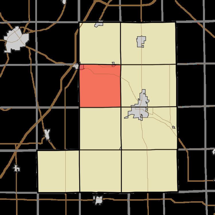
Map of Rockcreek Township, IN, USA
Geography
According to the 2010 census, the township has a total area of 35.91 square miles (93.0 km2), of which 35.57 square miles (92.1 km2) (or 99.05%) is land and 0.34 square miles (0.88 km2) (or 0.95%) is water.
Cities, towns, villages
Unincorporated towns
(This list is based on USGS data and may include former settlements.)
Adjacent townships
Cemeteries
The township contains these three cemeteries: Horeb, Sparks and Spider Hill.
Rivers
School districts
Political districts
References
Rockcreek Township, Wells County, Indiana Wikipedia(Text) CC BY-SA