
Country United States Elevation 264 m Local time Saturday 7:05 AM | GNIS feature ID 453199 Area 92.7 km² Population 936 (2010) | |
 | ||
ZIP codes 46759, 46781, 46792, 47359 Weather -2°C, Wind SE at 6 km/h, 69% Humidity | ||
Chester Township is one of nine townships in Wells County, Indiana, United States. As of the 2010 census, its population was 936 and it contained 394 housing units.
Contents
- Map of Chester Township IN USA
- Geography
- Cities towns villages
- Unincorporated towns
- Adjacent townships
- Cemeteries
- Airports and landing strips
- School districts
- Political districts
- References
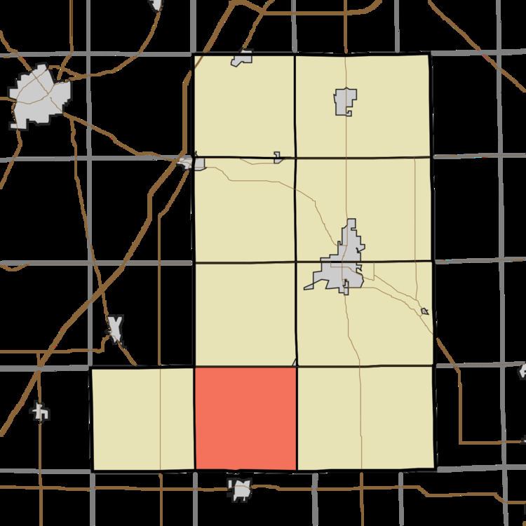
Map of Chester Township, IN, USA
Geography
According to the 2010 census, the township has a total area of 35.79 square miles (92.7 km2), of which 35.62 square miles (92.3 km2) (or 99.53%) is land and 0.17 square miles (0.44 km2) (or 0.47%) is water.
Cities, towns, villages
Unincorporated towns
(This list is based on USGS data and may include former settlements.)
Adjacent townships
Cemeteries
The township contains these two cemeteries: Miller and Snow.
Airports and landing strips
School districts
Political districts
References
Chester Township, Wells County, Indiana Wikipedia(Text) CC BY-SA