
Country United States GNIS feature ID 453761 Local time Friday 6:15 PM | FIPS code 18-61290 Elevation 207 m Population 4,063 (2010) | |
 | ||
Weather 22°C, Wind S at 35 km/h, 52% Humidity Area 92.59 km² (90.75 km² Land / 184 ha Water) | ||
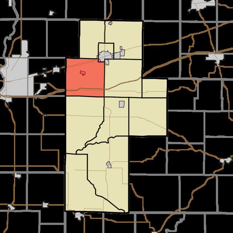
Posey Township is one of eleven townships in Clay County, Indiana. As of the 2010 census, its population was 4,063 and it contained 1,706 housing units.
Contents
- Map of Posey Township IN USA
- History
- Geography
- Cities and towns
- Unincorporated towns
- Adjacent townships
- Major highways
- Cemeteries
- References
Map of Posey Township, IN, USA
History
Posey Township was organized in 1828. It was named for Territorial Governor Thomas Posey.
Geography
According to the 2010 census, the township has a total area of 35.75 square miles (92.6 km2), of which 35.04 square miles (90.8 km2) (or 98.01%) is land and 0.71 square miles (1.8 km2) (or 1.99%) is water.
Cities and towns
Unincorporated towns
(This list is based on USGS data and may include former settlements.)
Adjacent townships
Major highways
Cemeteries
The township contains seven cemeteries: Billtown, Clearview, Cottage Hill, German, Rhule, Summit Lawn and Summit Lawn.
References
Posey Township, Clay County, Indiana Wikipedia(Text) CC BY-SA