
Country United States Time zone EST (UTC-5) Elevation 178 m Local time Saturday 3:59 AM | GNIS feature ID 432447 Zip code 47834 | |
 | ||
Weather 1°C, Wind SE at 11 km/h, 55% Humidity | ||
Cherryvale is an unincorporated community in Vigo and Clay counties, Indiana, United States.
Contents
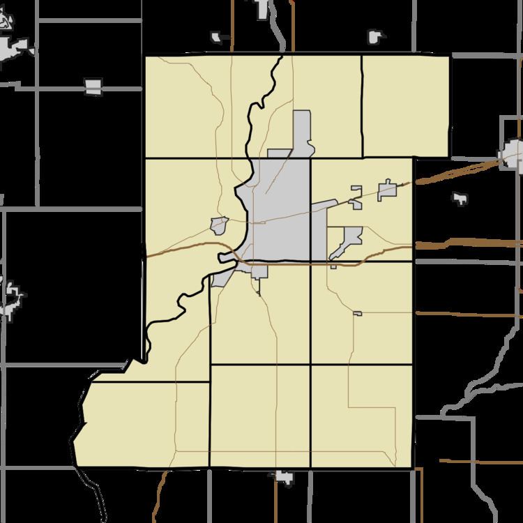
Map of Cherryvale, Lost Creek Township, IN 47834, USA
It is part of the Terre Haute metropolitan area.
Geography
Cherryvale is located at 39°27′48″N 87°14′22″W at an elevation of 600 feet.
References
Cherryvale, Indiana Wikipedia(Text) CC BY-SA