
Country United States County Clay Time zone Eastern (EST) (UTC-5) Elevation 197 m Zip code 47881 Population 528 (2013) | State Indiana FIPS code 18-72782 Area 91 ha Local time Sunday 6:27 PM Area code 812 | |
 | ||
Weather 16°C, Wind SW at 23 km/h, 69% Humidity | ||
Staunton is a town in Posey Township, Clay County, Indiana, United States. The population was 534 at the 2010 census. It is part of the Terre Haute Metropolitan Statistical Area.
Contents
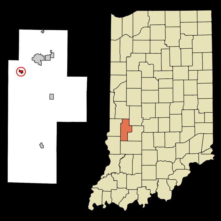
Map of Staunton, IN, USA
History
Staunton had its start in the year 1851 by the building of the railroad through that territory. The town was named after Staunton, Virginia.
Geography
Staunton is located at 39°29′14″N 87°11′18″W (39.487302, -87.188251).
According to the 2010 census, Staunton has a total area of 0.34 square miles (0.88 km2), all land.
2010 census
As of the census of 2010, there were 534 people, 199 households, and 146 families residing in the town. The population density was 1,525.7 inhabitants per square mile (589.1/km2). There were 224 housing units at an average density of 640.0 per square mile (247.1/km2). The racial makeup of the town was 98.3% White, 1.5% from other races, and 0.2% from two or more races. Hispanic or Latino of any race were 2.1% of the population.
There were 199 households of which 40.2% had children under the age of 18 living with them, 59.3% were married couples living together, 10.6% had a female householder with no husband present, 3.5% had a male householder with no wife present, and 26.6% were non-families. 20.1% of all households were made up of individuals and 7.5% had someone living alone who was 65 years of age or older. The average household size was 2.68 and the average family size was 3.10.
The median age in the town was 36.6 years. 29.2% of residents were under the age of 18; 5.3% were between the ages of 18 and 24; 28.7% were from 25 to 44; 25.1% were from 45 to 64; and 11.8% were 65 years of age or older. The gender makeup of the town was 50.2% male and 49.8% female.
2000 census
As of the census of 2000, there were 550 people, 198 households, and 152 families residing in the town. The population density was 1,614.0 people per square mile (624.6/km²). There were 217 housing units at an average density of 636.8 per square mile (246.4/km²). The racial makeup of the town was 98.55% White, 0.55% Asian, and 0.91% from two or more races. Hispanic or Latino of any race were 0.55% of the population.
There were 198 households out of which 37.9% had children under the age of 18 living with them, 65.7% were married couples living together, 10.1% had a female householder with no husband present, and 23.2% were non-families. 19.7% of all households were made up of individuals and 11.1% had someone living alone who was 65 years of age or older. The average household size was 2.78 and the average family size was 3.19.
In the town, the population was spread out with 30.2% under the age of 18, 8.9% from 18 to 24, 28.4% from 25 to 44, 20.5% from 45 to 64, and 12.0% who were 65 years of age or older. The median age was 33 years. For every 100 females there were 82.7 males. For every 100 females age 18 and over, there were 84.6 males.
The median income for a household in the town was $38,750, and the median income for a family was $43,125. Males had a median income of $31,500 versus $20,893 for females. The per capita income for the town was $14,192. About 3.4% of families and 6.5% of the population were below the poverty line, including 9.4% of those under age 18 and 4.8% of those age 65 or over.