
Country United States GNIS feature ID 453887 Local time Thursday 2:54 PM | FIPS code 18-73988 Elevation 177 m Population 939 (2010) | |
 | ||
Weather 22°C, Wind S at 24 km/h, 60% Humidity Area 73.06 km² (71.79 km² Land / 129 ha Water) | ||
Sugar Ridge Township is one of eleven townships in Clay County, Indiana. As of the 2010 census, its population was 939 and it contained 449 housing units.
Contents
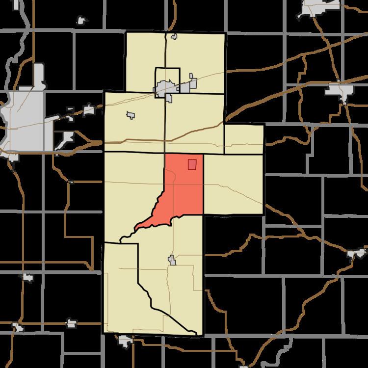
- Map of Sugar Ridge Township IN USA
- History
- Geography
- Cities and towns
- Unincorporated towns
- Adjacent townships
- Major highways
- Cemeteries
- References
Map of Sugar Ridge Township, IN, USA
History
Sugar Ridge Township organized in 1854. It was named from a high ridge passing through its central portion.
The Aqueduct Bridge, Feeder Dam Bridge, and Jeffers Bridge are listed on the National Register of Historic Places.
Geography
According to the 2010 census, the township has a total area of 28.21 square miles (73.1 km2), of which 27.72 square miles (71.8 km2) (or 98.26%) is land and 0.5 square miles (1.3 km2) (or 1.77%) is water. Dietz Lake is in this township.
Cities and towns
Unincorporated towns
(This list is based on USGS data and may include former settlements.)
Adjacent townships
Major highways
Cemeteries
The township contains three cemeteries: Gremes, Harris and Moss.
References
Sugar Ridge Township, Clay County, Indiana Wikipedia(Text) CC BY-SA