
Country United States GNIS feature ID 453802 Area 92.88 km² Population 3,123 (2010) | ZIP codes 47802, 47803 Elevation 167 m Local time Thursday 6:15 AM | |
 | ||
Weather 13°C, Wind SE at 0 km/h, 75% Humidity | ||
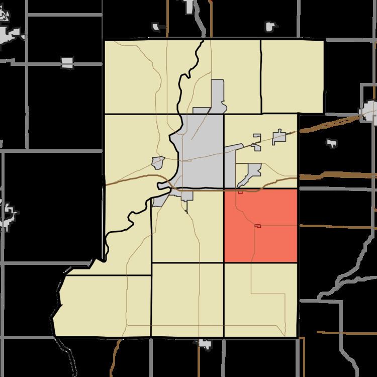
Riley Township is one of twelve townships in Vigo County, Indiana, United States. As of the 2010 census, its population was 3,123 and it contained 1,260 housing units.
Contents
- Map of Riley Township IN USA
- Geography
- Cities towns villages
- Unincorporated communities
- Adjacent townships
- Cemeteries
- Lakes
- School districts
- Political districts
- References
Map of Riley Township, IN, USA
Geography
According to the 2010 census, the township has a total area of 35.86 square miles (92.9 km2), of which 35.23 square miles (91.2 km2) (or 98.24%) is land and 0.63 square miles (1.6 km2) (or 1.76%) is water.
Cities, towns, villages
Unincorporated communities
Adjacent townships
Cemeteries
The township contains these five cemeteries: Cooper, Jones, Liberty, Mewhinney and Miner.
Lakes
School districts
Political districts
References
Riley Township, Vigo County, Indiana Wikipedia(Text) CC BY-SA