
Country United States County Clay GNIS feature ID 453265 Local time Tuesday 12:17 AM | State Indiana FIPS code 18-18118 Elevation 197 m Population 1,453 (2010) | |
 | ||
Weather 17°C, Wind S at 39 km/h, 70% Humidity Area 55.84 km² (55.58 km² Land / 26 ha Water) | ||
Dick Johnson Township is one of eleven townships in Clay County, Indiana. As of the 2010 census, its population was 1,453 and it contained 584 housing units.
Contents
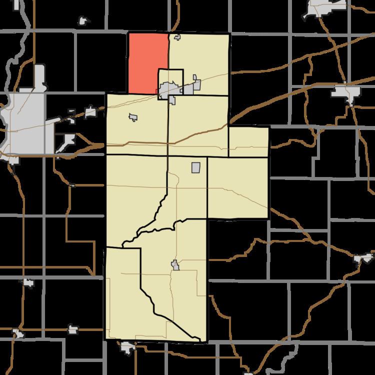
- Map of Dick Johnson Township IN USA
- History
- Geography
- Cities and towns
- Unincorporated towns
- Adjacent townships
- Major highways
- Cemeteries
- References
Map of Dick Johnson Township, IN, USA
History
Dick Johnson Township was established in the late 1830s. This township was named for Richard Mentor Johnson, the ninth Vice President of the United States, serving in the administration of Martin Van Buren. There is also a Van Buren Township in Clay County in honor of the 8th President.
Geography
According to the 2010 census, the township has a total area of 21.56 square miles (55.8 km2), of which 21.46 square miles (55.6 km2) (or 99.54%) is land and 0.1 square miles (0.26 km2) (or 0.46%) is water.
Cities and towns
Unincorporated towns
(This list is based on USGS data and may include former settlements.)
Adjacent townships
Major highways
Cemeteries
The township contains 17 cemeteries: Archer, Carter, Orchard, Perth, Saint Marys, Sampson, Greek Catholic, Cottage Hill, Eldridge, Don & Chris Loughmiller, [Unnamed], Bee Ridge, Rock Run, Kessel, Percals, Odell, & Webster