
Country United States GNIS feature ID 453135 Population 8,471 (2010) | FIPS code 18-07192 Elevation 209 m Local time Thursday 4:02 PM | |
 | ||
Weather 6°C, Wind W at 26 km/h, 40% Humidity Area 16.89 km² (16.73 km² Land / 13 ha Water) | ||
Brazil Township is one of eleven townships in Clay County, Indiana. As of the 2010 census, its population was 8,471 and it contained 3,806 housing units.
Contents
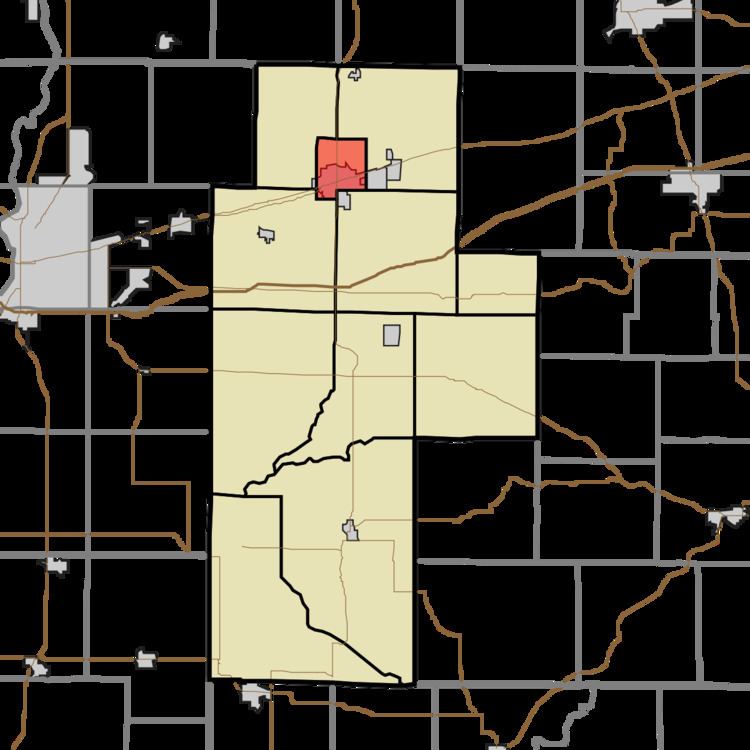
- Map of Brazil Township IN 47834 USA
- History
- Geography
- Cities and towns
- Unincorporated towns
- Adjacent townships
- Major highways
- Cemeteries
- References
Map of Brazil Township, IN 47834, USA
History
Brazil Township was organized in 1868.
Geography
According to the 2010 census, the township has a total area of 6.52 square miles (16.9 km2), of which 6.46 square miles (16.7 km2) (or 99.08%) is land and 0.05 square miles (0.13 km2) (or 0.77%) is water.
Cities and towns
Unincorporated towns
(This list is based on USGS data and may include former settlements.)
Adjacent townships
Major highways
Cemeteries
The township contains 4 cemeteries: Old Hill, Stunkard, Otter Creek and Restlawn.
References
Brazil Township, Clay County, Indiana Wikipedia(Text) CC BY-SA