
Country United States GNIS feature ID 453436 Local time Friday 10:47 PM | FIPS code 18-36864 Elevation 190 m Population 2,739 (2010) | |
 | ||
Weather 5°C, Wind SW at 8 km/h, 98% Humidity Area 92.41 km² (90.88 km² Land / 153 ha Water) | ||
Jackson Township is one of eleven townships in Clay County, Indiana. As of the 2010 census, its population was 2,739 and it contained 1,144 housing units.
Contents
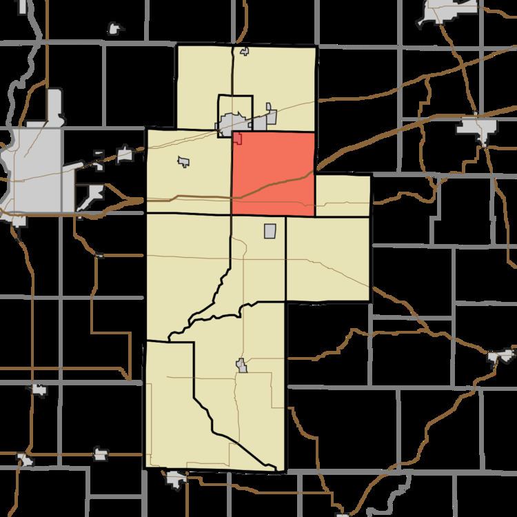
- Map of Jackson Township IN USA
- History
- Geography
- Cities and towns
- Unincorporated towns
- Adjacent townships
- Major highways
- Cemeteries
- References
Map of Jackson Township, IN, USA
History
Jackson Township was established about 1832. It was named for Andrew Jackson, who was then serving as President of the United States.
Geography
According to the 2010 census, the township has a total area of 35.68 square miles (92.4 km2), of which 35.09 square miles (90.9 km2) (or 98.35%) is land and 0.59 square miles (1.5 km2) (or 1.65%) is water.
Cities and towns
Unincorporated towns
(This list is based on USGS data and may include former settlements.)
Adjacent townships
Major highways
Cemeteries
The township contains five cemeteries: Kealber, Neidlinger, Poplar, Wesley Chapel and Zenor.
References
Jackson Township, Clay County, Indiana Wikipedia(Text) CC BY-SA