
Country United States GNIS feature ID 453659 Area 79.62 km² Local time Saturday 12:11 AM | ZIP codes 47805, 47834, 47874 Elevation 181 m Population 1,975 (2010) | |
 | ||
Weather 18°C, Wind S at 13 km/h, 63% Humidity | ||
Nevins Township is one of twelve townships in Vigo County, Indiana, United States. As of the 2010 census, its population was 1,975 and it contained 881 housing units.
Contents
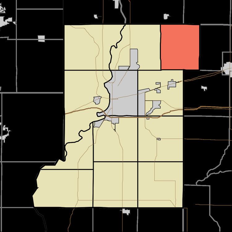
- Map of Nevins Township IN USA
- Geography
- Unincorporated communities
- Adjacent townships
- Cemeteries
- Lakes
- School districts
- Political districts
- References
Map of Nevins Township, IN, USA
Geography
According to the 2010 census, the township has a total area of 30.74 square miles (79.6 km2), of which 30.56 square miles (79.2 km2) (or 99.41%) is land and 0.18 square miles (0.47 km2) (or 0.59%) is water.
Unincorporated communities
Adjacent townships
Cemeteries
The township contains these four cemeteries: Cress, Harpold, Richer and Sullian.
Lakes
School districts
Political districts
References
Nevins Township, Vigo County, Indiana Wikipedia(Text) CC BY-SA