
Length 200 km (120 mi) NS Area 12,600 km² | ||
 | ||
Similar Mount Kitanglad, Mount Kalatungan, Mount Sumagaya, Musuan Peak, Mount Dulang‑dulang | ||
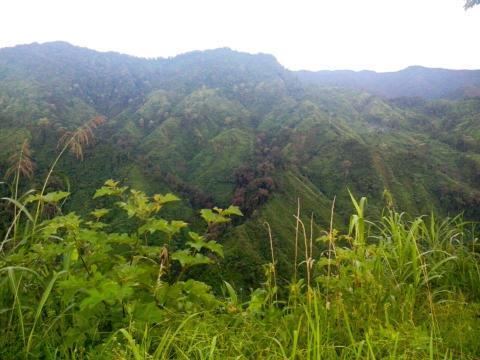
Pantaron Mountain Range, also called the Central Cordillera of Mindanao, Philippines is a mountain range straddling across the provinces of Misamis Oriental, Bukidnon, Agusan del Norte, Agusan del Sur, Davao del Norte and Davao del Sur. The range contains one of the last remaining old growth or primary forest blocks in Mindanao. Major rivers in the island also has their headwaters in the mountain range including Mindanao River, Pulangi River, Davao River, Tagoloan River and major tributaries of Agusan River.
Map of Pantaron Mountain Range, San Fernando, Bukidnon, Philippines
Ethnic tribal communities such as the Manobos, Higaonons and Bukidnons are the inhabitants of the area. Ancestral domain claims within the boundaries of the mountain range has also been identified by the government for these ethnic minorities.