
- elevation 6 m (20 ft) Basin area 1,704 km² Basin area 1,704 km² | - elevation 0 m (0 ft) Length 106 km Source Malaybalay | |
 | ||
- left Dila River, Alalum River, Mangima River - right Amusig River, Siloo River, Malitbog River Mouth Tagoloan, Misamis Oriental | ||
Kayak domain 1st descent tagoloan river
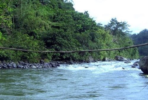
Tagoloan River is the 13th largest river system in the Philippines in terms of watershed size, as classified by the National Water Resources Board. It has an estimated drainage area of 1,704 square kilometers covering the provinces of Bukidnon and Misamis Oriental. It has a length of 106 kilometers from its source in Malaybalay City, Bukidnon province.
Contents
Map of Tagoloan River, Philippines
References
Tagoloan River Wikipedia(Text) CC BY-SA