
Length 150 km | Basin area 1,623 km² Basin area 1,623 km² Mouth elevation 0 | |
 | ||
- left Panigan River, Tamugan River | ||
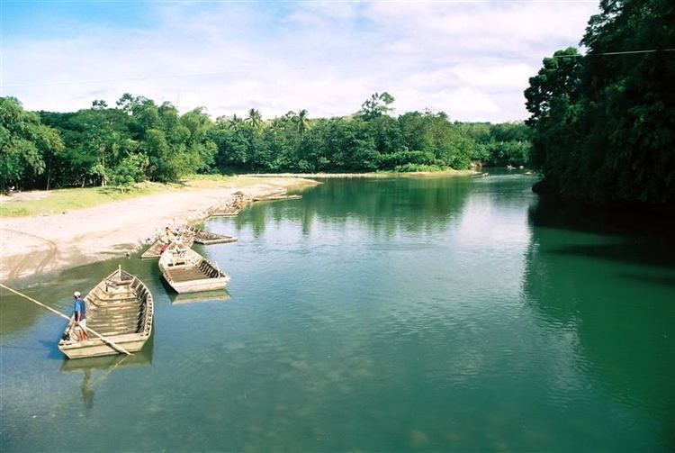
The Davao River catchment is the third largest river catchment on the Southern Philippines Island of Mindanao. It drains an area of over 1700 km² with a river length of 160 km. Most of the area is uplands. Average flows within the river near to the mouth are estimated at 70-80 cubic meters per second. The climate type is relatively uniform throughout the year with evenly distributed rainfall and temperatures and humidity (rainfall = 2600mm, Actual Evap 1028mm). The area rarely experiences typhoons.
Contents
Map of Davao River, Philippines
Stats
Topography/Soil Type
Plains and Valley: Parent Material:
Intermediate Upland:
Hills and Mountains:
Demographic properties
Land uses
The landform and landcover within the basin is highly diverse. Ranging from lowland urban, agricultural, wetland and mangrove to natural riparian, plantations, upland agriculture and mountainous forest including primary forest. The area is classified by DENR as 77.5% forestlands and 22.5% alienable and disposable land. This is not a true land uses (or land cover) classification. Detailed land use is not available. Information is available from several sources including the Comprehensive Land Use Plan of the City, however this data is as yet theoretical and does not represent the realities or suitability of land at the barangay (lowest tier of local government) level. However the City Planning Office is collecting and digitizing data for land use maps.