
Type Road Length 13 km | ||
 | ||
Major suburbs | ||
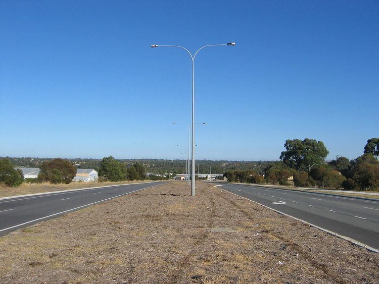
Ocean Reef Road is an arterial east-west road in Perth, Western Australia. It is located within the northern suburbs of Perth, from Ocean Reef in the west, to Landsdale in the east, with a portion travelling northwards along the coast to Iluka. Ocean Reef Road is a dual carriageway east of Marmion Avenue, and a two-way single carriageway elsewhere.
Contents
Map of Ocean Reef Rd, Western Australia, Australia
Ocean Reef Road, east of Marmion Avenue, is part of State Route 84, along with the eastern section of Gnangara Road.
History
Up until the mid-1970s the road from Wanneroo Road was named Mullaloo Drive between Wanneroo Road and Craigie Drive/Coyle Road. Mullaloo Drive took the course and road names of today from Wanneroo Road (at Villa Nova) along Mangano Place, Backshall Place, Ocean Reef Road up to Wildlife Place, continuing over the current Mitchell Freeway into Coyle Road, Craigie Drive, Kallaroo Place and then Mullaloo Drive joining Oceanside Promenade at Mullaloo.
From the mid-1970s Ocean Reef Road was so named and constructed from a point approximately 500m west of today's Edgewater Drive up to Marmion Avenue (heading in a north-westerly fashion from the aforementioned point). Ocean Reef Road between Backshall Place and Wanneroo Road took at slightly different course south, from the original Mullaloo Drive. Then as the suburb of Ocean Reef was built in the 1980s and the Ocean Reef marina were built, Ocean Reef Road was extended this far. During the 1980s the Joondalup Drive intersection was opened. In the 1990s at the Wanneroo Road end, the road was extended to Hartman Drive near Wangara. The Mitchell Freeway terminated here in the early 1990s. After 1996 Ocean Reef Road was joined to Hodges Drive. In 2006 Ocean Reef Road was extended along the coast from Hodges Drive to Shenton Avenue.
The works to duplicate Ocean Reef Road between Wanneroo Road and Hartman Drive into a dual-carriageway road was to be completed in May 2008.
As part of the Federal Government's AusLink Strategic Regional Program, Ocean Reef Road was extended east to Alexander Drive. This work was carried out in two stages. First, from Hartman Drive to Prestige Parade (completed March 2009), and secondly, from Prestige Parade to Alexander Drive (commenced in April 2011 and was scheduled to be completed in February 2012). The construction of this stage also affected the alignment and layout of Gnangara Road, as the former section of Gnangara Road from Coverwood Promenade to Alexander Drive now forms part of Ocean Reef Road. Gnangara Road's western section now terminates at Mirrabooka Avenue (formerly Madeley Street), with the remaining section retained as part of the local road network.