
Postcode(s) 6069 Postal code 6069 | Ellenbrook Belhus Federal division Division of Pearce | |
 | ||
Population 16,284 (2011 census)41,681 (2015) | ||
Ellenbrook is a northeastern suburb of Perth, Western Australia, about 21 km from Perth's Central business district (CBD), located within the City of Swan. Ellenbrook, and its neighbouring suburbs of The Vines and Aveley, are unusual for Perth in being a significant distance from neighbouring suburbs. Given this relative isolation and the distance from the CBD, Ellenbrook has been designed and developed as a self-sustainable community. At June 2015 the estimated urban population for Ellenbrook and surrounds was 41,681. At the time of the 2011 census there were 16,284 people living in the gazetted suburb. It is envisioned that Ellenbrook will eventually become a satellite city, with a population of 80,000, however a more modest population prediction of 30,000 has been set for c. 2012. In June 2010 Rita Saffioti MLA stated that the population of Ellenbrook and neighbouring areas now stood at "over 25,000". Current City of Swan estimates forecast the population to increase to 37,150 by 2016 and 44,185 by 2021. Population in the City of Swan's nearby Urban Growth Corridor (roughly east of Whiteman Park) is forecast to reach 14,668 in the same period.
Contents
- Map of Ellenbrook WA Australia
- Transport links
- History and development
- Natural features
- Education facilities
- Sporting and leisure facilities
- References
Map of Ellenbrook WA, Australia
Transport links
Ellenbrook has reasonable transport links and is approximately 17 kilometres (11 mi) from Guildford, 19 kilometres (12 mi) from Midland and 27 kilometres (17 mi) from the CBD (via Beaufort Street and Beechboro Road). Gnangara Road links Ellenbrook with Wangara and the northern suburbs, while West Swan Road and the Reid and Tonkin Highways are nearby. Bus services link Ellenbrook with Morley and Bassendean railway station. A journey to the CBD by public transport takes approximately 60 minutes. As of 2010 Public transport is currently limited in the evenings and weekends but Transperth introduced new services including an hourly evening connection to Bassendean train stations and thus the city.
During the campaign for the 2008 Western Australian election, both major political parties committed to building a rail-line. The 15 km long rail-line was expected to cost $850 million and be finished around 2015, with construction starting around 2012. However, in May 2010, the premier Colin Barnett confirmed that his government would not be proceeding with the development.
History and development
Ellenbrook takes its name from after Ellen Stirling, the wife of Captain James Stirling, Western Australia's first governor.
The developer is the Ellenbrook Joint Venture — a partnership between the Department of Housing and Works and Morella Pty Ltd.
The Urban Development Institute of Australia (UDIA) produced a fact sheet providing details about the development:
Ellenbrook is a planned community, and is being developed in phases called "villages". The first, Woodlake Village was built on the site of a former sand quarry. The lowest point of the open-cut mine became the central lake and feature parkland, and the high points of the mine were set aside for the area now known as Woodlake Rise. Construction commenced in 1994, with the first home completed in 1995. Subsequent villages are The Bridges, Coolamon, Morgan Fields, Charlotte's Vineyard, Malvern Springs, Lexia and Annie's Landing.
The development of the Town Centre is well established, with The Shops, 33,000sqm of shopping centre including major retailers, Coles, Woolworths and Big W and around 100 speciality stores. It contains the largest Woolworths in the state. The Town Centre is being developed in four phases with stage 3 currently underway. It has already attracted major big box retailers Masters and Bunnings.
The villages and shops are linked and intertwined by a series of pathways and cyclepaths and there is a high standard of landscaping throughout.
Ellenbrook Planning and Development Table
Natural features
Some pre-existing woodlands and wetlands, including Conservation Category Wetlands, have been incorporated into Public Open Space in the villages of Charlotte’s Vineyard and Malvern Springs. The neighbouring Gnangara pine plantation, west of The Bridges, includes walks and picnic facilities accessible directly from Ellenbrook.
Over 300 hectares to the south of Ellenbrook were ceded for conservation prior to the commencement of the development, and are now protected under Perth's metropolitan Bush Forever strategy.
The lake at the Edgecombe Brothers Estate, next to the suburb, is home to one of the last remaining wild populations of the critically endangered Western Swamp Tortoise.
Education facilities
Ellenbrook and its surrounding area contain a number of primary and secondary schools, both public and private.
Primary schools in the area include:
High schools in the area include:
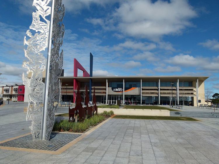
Ellenbrook Community Library, operated by the City of Swan, is colocated within Ellenbrook Secondary College and Performing Arts Centre.
Sporting and leisure facilities
There are four ovals (playing fields) in Ellenbrook. The main ovals at Coolamon Oval and Ellenbrook District Open Space (EDOS) have clubroom and changing facilities and are the home of the Ellenbrook Eels Senior Football Club, the Ellenbrook Dockers Junior Football club (Australian Rules) and the Ellenbrook Rangers (cricket).
Other sporting facilities include:
The town is also home to a junior and senior soccer club, Ellenbrook United FC.
There is a private swimming pool/school operated by State Swim located adjacent to the library.