
Population 4,531 (2011 census) Postcode(s) 6027 Postal code 6027 | Established 1974 Founded 1974 | |
 | ||
Location 23 km (14 mi) from Perth CBD | ||
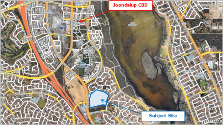
Edgewater is a suburb of Perth, Western Australia 23 kilometres (14 mi) north of Perth's central business district. Edgewater was approved as a suburb name in 1974, and its local government area is the City of Joondalup. It is named after its location on the western edge of Lake Joondalup, which is surrounded by Yellagonga Regional Park.
Contents
- Map of Edgewater WA 6027 Australia
- Transport
- Geography
- Facilities
- Primary and tertiary education
- References
Map of Edgewater WA 6027, Australia
Transport
Edgewater is serviced by the 466 and 465 Transperth bus routes from Joondalup, operated by Veolia Transdev. Edgewater railway station is located in the far southwest of the suburb.
Geography
Edgewater is bounded by Joondalup Drive to the west, Ocean Reef Road to the south and Yellagonga Regional Park to the east.
Facilities
Edgewater is a residential suburb, with shopping facilities including a supermarket, restaurant, newsagency, chemist, liquor store and barbecue facilities by the lake.
Primary and tertiary education
Edgewater contains one high school, Mater Dei College (a Catholic school), and one primary school, Edgewater Primary School (public).