Population 7,480 (2011 census) State electorate(s) West Swan Area 8.5 km² | Postcode(s) 6065 Postal code 6065 Federal division Division of Cowan | |
 | ||
Landsdale is a northern suburb of Perth, Western Australia located within the local government area of the City of Wanneroo. It is mixed use, with residential, commercial and light manufacturing areas.
Contents
Map of Landsdale WA 6065, Australia
History
In the late 1990s, Landsdale began to develop from market gardens and small rural lots into residential development. Until 1997–1998, prior to the separation by the City of Wanneroo of the suburbs of Darch and Madeley, Landsdale enclosed a much larger area extending westwards to Wanneroo Road.
Facilities
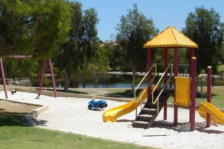
The main commercial precinct is known as Landsdale Gardens and includes most of the facilities of the area, such as a small medical complex, the Warradale centre (named after Warradale Park), parks and reserves, lakes, walking trails, Landsdale Forum shopping centre as well as two schools, Landsdale Primary School which was built in 1998 and Landsdale Gardens Adventist School.
Landsdale Forum was built to replace an earlier delicatessen. It includes a Farmer Jacks supermarket, BWS liquor store, a real-estate agency, a drycleaner, Fish & Chips take-away, Chinese take-away, salon, bakery, newsagent, a pool shop, a Veterinary clinic, a clothing store, a daycare centre, a cafe, a pharmacy, an Indian supermarket and a restaurant.
The Warradale Centre (named after nearby Warradale Park on Southmead Drive) is used for community events and includes a club room and change rooms as well as a canteen, parking and toilet facilities. It is used for local sporting clubs including; the Landsdale Rockets Football Club, the Landsdale Lions Junior and Senior Cricket Club as well as a small tee ball club.
Landsdale also has an ambulance station located on the corner of Alexander Drive and Gnangara Road.
The Perth International Telecommunications Centre is located in the eastern end of Landsdale.
Transport
Landsdale is serviced by three Transperth bus routes, operated by Path Transit and Veolia Transdev; Route 376 from Mirrabooka bus station, formerly the 355; and the 352 to Whitfords railway station and the 450 to Warwick railway station, allowing Landsdale residents to connect by train to Perth's central business district.
