
Population 7,933 (2011 census) Postcode(s) 6061 Founded 1954 | Established 1954 Area 5 km² Postal code 6061 | |
 | ||
Location 12 km (7 mi) N of Perth CBD | ||
Mirrabooka is a suburb of Perth, Western Australia. Its local government area is the City of Stirling.
Contents
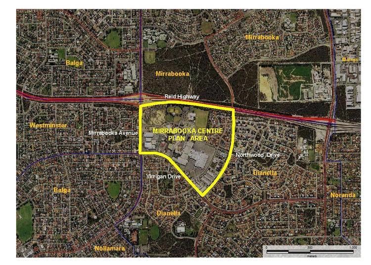
Map of Mirrabooka WA 6061, Australia
Mirrabooka is an Aboriginal name for the constellation most commonly known as the Southern Cross.
The early stage of development of the suburb was originally as an extension of Girrawheen and Nollamara
The suburb has expanded rapidly in recent years, with the subdivision of bushland, on which housing developments have been built, especially north of Yirrigan Drive.
The Mirrabooka Square Shopping Centre developed in 1979 has been expanded . The new regional police station of the Western Australia Police was expanded in 2015
Transport
The suburb is home to the Mirrabooka bus station, a hub for bus transport in the area, and is served by a number of Transperth bus routes operated by Path Transit, Transdev Perth and Swan Transit, Including connections to Perth, Warwick Train Station, Stirling, and more.