
Postcode(s) 6026 Postal code 6026 Population 9,202 (2011 census) | Established 1970s | |
 | ||
Woodvale is a suburb of Perth, Western Australia, located within the City of Joondalup and the City of Wanneroo. Its postcode is 6026.
Contents
Map of Woodvale WA 6026, Australia
Woodvale is bounded to the south by Whitfords Avenue, to the west by the Mitchell Freeway, to the north by Ocean Reef Road and to the east by Wanneroo Road. Trappers Drive runs entirely through Woodvale, from Whitfords Avenue to Ocean Reef Road. The area within and around Woodvale was primarily rural until the late 1970s. Rural properties were released from the late 1920s adjacent to Wanneroo Road. The main suburb development started in 1979 and was completed by 1995 with the release of the Woodvale Waters housing estate. Limited farming properties remain in and around Woodvale.
Prior to the creation of the City of Joondalup on 1 July 1998 the entirety of Woodvale was administered by the city of Wanneroo. however since the creation of the City of Joondalup, Woodvale has become an oddity - while most of the suburb lies within the City of Joondalup LGA, a small portion of eastern Woodvale is still administered by the adjacent City of Wanneroo.
Many British expatriates live in Woodvale and there is also an English style pub - the "Woodvale Tavern" - situated next to the Woodvale Shopping Centre along north Trappers Drive. Woodvale has two shopping centres, the Woodvale Shopping Centre that has an IGA with 10 more stores, including 2 clothing boutiques, 2 hair salons, a pizziaria and 3 restaurants. There is also the Woodvale Boulevard Shopping Centre that has a Woolworths Supermarket and 20 other stores including a several boutiques, bakeries, a National Australia Bank outlet, a meat connisour, several restaurants and fast food outlets including a Subway and Red Rooster restaurant.
Education
Woodvale contains one secondary school, Woodvale College, which opened in 1985, and three primary schools, Woodvale (1987) and North Woodvale (1990) and St. Lukes Catholic Primary School (1986).
Politics
Woodvale predominantly has a middle to semi-high-class population, being part of both the City of Joondalup and the City of Wanneroo Local Government Area. State and Federal constituencies include the seat of Kingsley and the seat of Moore, respectively. As part of both electorates, Woodvale is viewed as primarily right-wing voting, with the federal seat being held by the conservative Liberal Party and the state seat being held by the Labor Party.
Landmarks
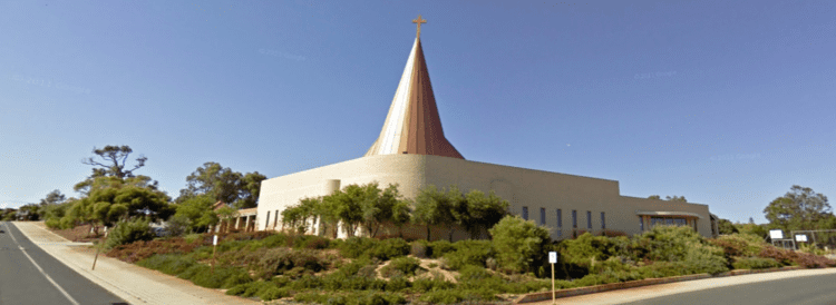
Woodvale includes two shopping centres - The Boulevard Shopping Centre, north of Woodvale Primary School, and Woodvale Shopping Centre which is located next to North Woodvale Primary School. There is a library, two doctors surgeries, an elderly village and a large nature reserve called Yellagonga is located on the eastern border, parallel to Duffy Terrace and Wanneroo Road, with Woodvale Waters also backing on to the reserve. Woodvale has some parks that are located in big streets across Woodvale. Cornish Park is in Cornish and Ramsay Chichester Park is in Chichester. Trappers Park is in Trappers and is also next to the Woodvale Primary School Oval. Timberlane Park is in Timberlane it includes its own oval own parking lot and own Tennis Club. Gascoyne Park is in Gascoyne near the Woodvale Waters area. Last there is Forrest Hill Park which is small and it is part of Woodvale and Kingsley.