
Type Road Route number(s) State Route 85 Major cities Joondalup | Opened 1990s Length 13 km | |
 | ||
Major suburbs | ||
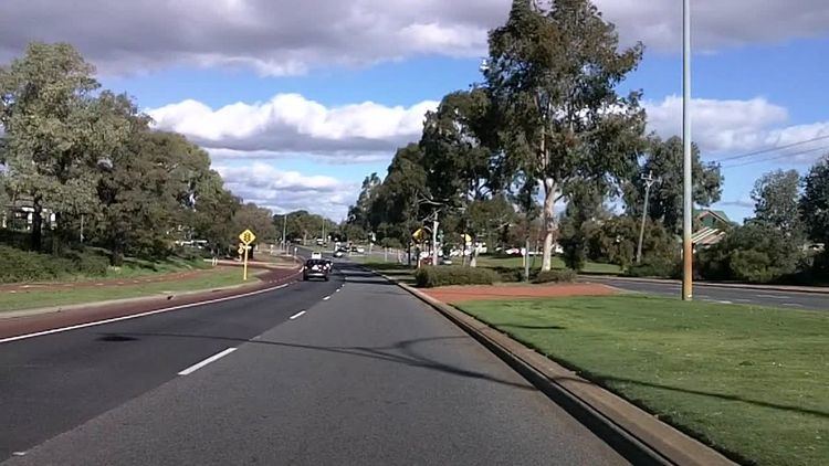
Joondalup Drive is a major distributor road in the northern suburbs of Perth, Western Australia.
Contents
- Map of Joondalup Dr Western Australia Australia
- 2005 Extension and Duplication
- Major Intersections
- References
Map of Joondalup Dr, Western Australia, Australia
The road cuts through the City of Joondalup's central business district and extends for a few kilometres east through neighbouring residential suburbs in the City of Wanneroo. The road was extended in 2005 to the northern suburb of Banksia Grove to provide easy access for residents to Joondalup's city centre, and to provide a complete connecting route to the Brand Highway from the Mitchell Freeway.
The route from Ocean Reef Road to Burns Beach Road was gazetted as Road No. 10951 by the Shire of Wanneroo in 1953. It is allocated State Route 85 for its entire length, connecting with Neaves Road into Bullsbrook and the City of Swan.
Joondalup Drive was originally known as Osborne Drive, but was renamed in the late 1960s.
2005 Extension and Duplication
In the early months of 2005, construction of a major extension to Joondalup Drive was undertaken, extending from its then termination point of Yandella Promenande, Tapping to Neaves Road, Banksia Grove. The construction of this duplication and extension was necessitated mainly by the large traffic volumes that used the section of Joondalup Drive between Wanneroo Road and Hodges Drive during morning and evening peak hours, mainly caused by heavy traffic flows to and from the Mitchell Freeway at its Hodges Drive termination.
The roadway was constructed as a two lane road, expanding to a two lane approach for each carriage to a major roundabout at the intersection of Joondalup Drive and Pinjar Road, where it becomes State Route 86. It then reduced back to two lanes for the remainder of the road before intersecting with Neaves Road. The construction of this extension also required the upgrading of Joondalup Drive from before Burns Beach Road beyond Wanneroo Road to before Millendon Street, Carramar.
The construction of the extension including associated works caused some significant issues, particularly given its involvement in two local governments (The City of Joondalup and the City of Wanneroo), a state government department (The Department of Main Roads, Western Australia), one state government utility (Western Power), and one Public utility (Alinta Gas). This caused significant issues in synchronisation of works, with each group causing delays for the other as their work progressed. One of the main delays in construction of the Wanneroo Road carriage duplication was the relocation of 225KVa high voltage power lines from the Tapping Substation that resided within the road reserve area that was needed for these works. Additionally, significant upgrade works were needed on the Burns Beach Road approaches to Joondalup Drive and the subsequent roundabout at this intersection that also needed upgrading to dual carriage.
The full works on this section were finally completed in 2006, some 18 months after they had commenced.
Joondalup Drive was turned into a dual carriageway from St Stephens Crescent to Tumbleweed Drive in 2011.