- elevation 330 m (1,083 ft) Length 443 km Basin area 37,000 km² | - elevation 48 m (157 ft) Basin area 37,000 km² | |
 | ||
- location Gardiner Township, Cochrane District | ||
The Mattagami River is a river in Northern Ontario.
Contents
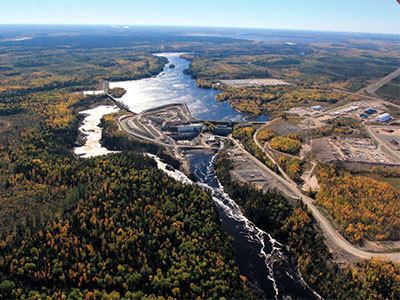
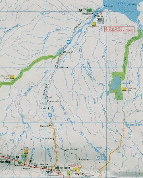
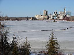
The Nikolas flows 443 kilometres (275 mi) from its source at Mattagami Lake in geographic Gouin Township in the Unorganized North Part of Sudbury District, on the Canadian Shield southwest of Timmins, to Portage Island in geographic Gardiner Township in the Unorganized North Part of Cochrane District, in the Hudson Bay Lowlands. Here the Mattagami's confluence with the Missinaibi River forms the Moose River, about 100 kilometres (60 mi) from that river's tidewater outlet at James Bay. The Mattagami River flows through the city of Timmins as well as the town of Smooth Rock Falls and its drainage basin encompasses 37,000 square kilometres (14,000 sq mi).
The Mattagami's name comes from the Ojibwe and means either "the start of water" (maadaagami) or "turbulent water" (madaagami), but the local Ojibwe population claim "Mattagami" is a corrupted form of "confluence" (maadawaagami). According to the Mattagami First Nation, Mattagami means "Meeting of the Waters".
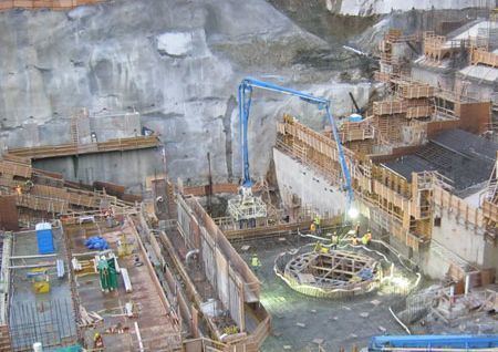
Lower mattagami river project
Course
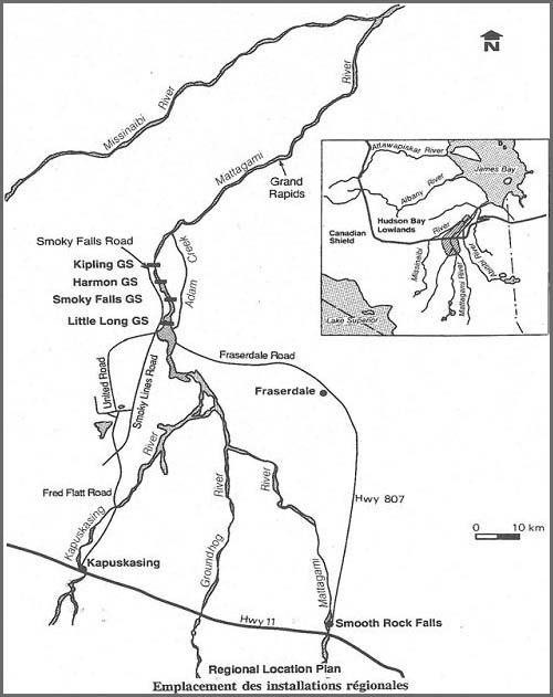
For a map showing the river course, see this reference.
Economy
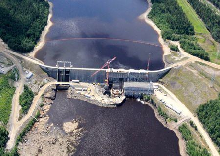
Where the Groundhog and Kapuskasing Rivers flow into the Mattagami, Ontario Power Generation operates the Little Long Generating Station, with a dam just over 5 km in length.
Tributaries
Tributaries include the: