
Country Canada Area 141,270 km² Local time Wednesday 12:09 AM | Created 1921 Time zone EST (UTC-5) Population 81,122 (2011) | |
 | ||
Weather -2°C, Wind S at 23 km/h, 68% Humidity Colleges and Universities Northern College, Université de Hearst | ||
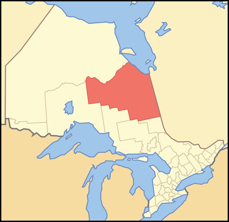
Cochrane District, Ontario is a district and census division in Northeastern Ontario in the Canadian province of Ontario. It was created in 1921 from parts of Timiskaming and Thunder Bay districts.
Contents
- Map of Cochrane District ON Canada
- City
- Towns
- Townships
- Cree Nation reserves
- Unorganized areas
- Geographic Townships
- References
Map of Cochrane District, ON, Canada
In 2011, the population was 81,122. The land area of this district is 141,270.41 square kilometres (54,544.81 sq mi), making it slightly smaller than the US State of Michigan and the second largest district in Ontario after Kenora District. The district seat is Cochrane.
City
Towns
Townships
Cree Nation reserves
Unorganized areas
Geographic Townships
This list is incomplete.
References
Cochrane District Wikipedia(Text) CC BY-SA