
- right Nat River - elevation 191 m (627 ft) Province Ontario | - elevation 336 m (1,102 ft) Source Horwood Lake | |
 | ||
- location Clay Township, Cochrane District | ||
The Groundhog River is a river in Cochrane District and Sudbury District in Northeastern Ontario, Canada. The river is in the James Bay drainage basin and is a left tributary of the Mattagami River.
Contents
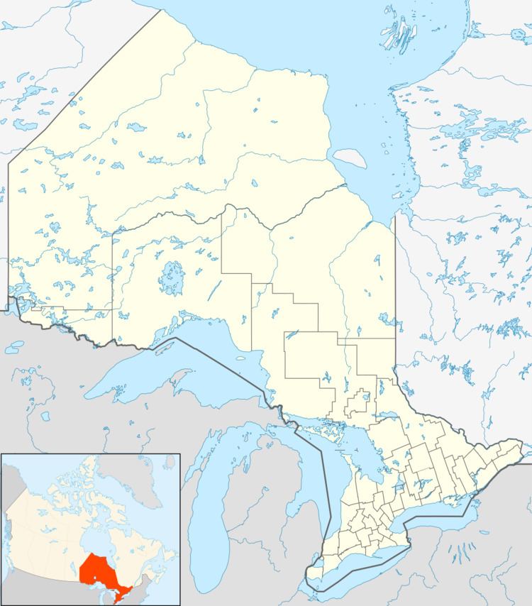
Map of Groundhog River, Cochrane, Unorganized, North Part, ON, Canada
Course
For a map showing the river course, see this reference.
The river begins at Horwood Lake in geographic Keith Township in the Unorganized North Part of Sudbury District. It flows northeast over the Ontario Power Generation Horwood Lake Dam, used to control water flow and store water for hydroelectricity generating stations downstream in the drainage basin, to Groundhog Lake, then north under the Canadian National Railway transcontinental main line at the railway point and unincorporated place of Groundhog River, between the railway point of Joburke to the west and the community of Kukatush to the east. The railway line is used by Via Rail transcontinental Canadian trains, but none of these locations is served by the train. The river continues north under Ontario Highway 101, passes over the Upper Falls and series of unnamed cataracts and enters Cochrane District at geographic Enid Township. It continues north through the Flying Post 73 Indian Reserve, part of the Flying Post First Nation, over unnamed cataracts, jogs west then again north over the course of the Six Mile Rapids and takes in the left tributary Ivanhoe River and right tributary Nat River. The Groundhog River again jogs west, takes in the left tributary Otapingshewee River, then heads north through the Ten Mile Rapids, passes over the Carmichael Falls Generating Station and dam and takes in the left tributary Wakusimi River. It heads around Bremner Island, and reaches the community of Fauquier in the incorporated township of Fauquier-Strickland. It is crossed there by Ontario Highway 11 and by the Ontario Northland Railway secondary main line, formerly a Canadian National Railway secondary line and originally the National Transcontinental Railway transcontinental main line. The river continues north around a series of small islands and the Dixon Rapids, Hamilton Rapids and La Duke Rapids, passes over the Whist Falls, and reaches its mouth at the Mattagami River in geographic Clay Township. The Mattagami River flows via the Moose River to James Bay.