
Created 1907 Area code(s) 705 Area 38,505 km² | Time zone Eastern (EST) (UTC-5) Population 21,196 (2011) Local time Thursday 11:41 AM | |
 | ||
Weather 1°C, Wind E at 11 km/h, 56% Humidity | ||
The Sudbury District is a district in Northeastern Ontario in the Canadian province of Ontario. It was created in 1894 from townships of eastern Algoma District and west Nipissing District.
Contents
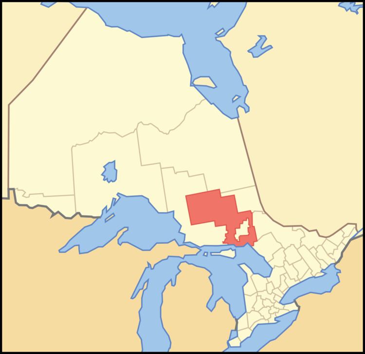
- Map of Sudbury District ON Canada
- Status of Greater Sudbury
- Towns
- Townships
- Unorganized areas
- First Nations reserves
- Demographics
- Provincial highways
- Provincial parks
- References
Map of Sudbury District, ON, Canada
The overwhelming majority of the district (about 92%) is unincorporated and part of Unorganized North Sudbury District. With the exception of Chapleau, all of the district's incorporated municipalities are found in the area immediately surrounding the city of Greater Sudbury to the west, east and south. North of the Greater Sudbury area, the district is sparsely populated; between Sudbury and Chapleau, only unincorporated settlements, ghost towns and small First Nations reserves are found.
Status of Greater Sudbury
Because the districts of Northern Ontario are unincorporated territorial divisions, unlike the counties or regional municipalities of Southern Ontario, the city of Greater Sudbury is legally defined as part of the district in the geographic sense.
Politically, however, the district and the city are considered two distinct census divisions and two distinct jurisdictions for provincial government services. The district's social services board — which has offices in the district seat of Espanola, as well as satellite offices in several other communities in the district — instead shares its jurisdictional area with the neighbouring Manitoulin District, whereas equivalent services in Greater Sudbury, which has the status of a single-tier municipality, are provided directly from the city.
With the city included, the district would have had a population of 181,572 in the 2011 census.
Towns
Townships
Unorganized areas
Local services areas in Unorganized Sudbury include:
First Nations reserves
Demographics
The city and the district are considered two distinct census divisions by Statistics Canada. Therefore, the table above does not include the data for the City of Greater Sudbury.
Provincial highways
The Sudbury District is served by Trans-Canada Highways 17, which leads from the community of Walford (Sables-Spanish Rivers) in the west to the community of Warren (Markstay-Warren) in the east, and 69, which enters the district at French River and exits at the southern boundary of Greater Sudbury.
The Ontario government is converting Highway 69 to a freeway. Construction, and renumbering as Highway 400, are expected to be complete by 2021.
Other primary provincial highways in the district are:
The Sudbury District also has a number of secondary provincial highways, which are the analogue in a district to county or municipal roads in Southern Ontario. They are important connections to the communities they serve, but are not significant routes for through traffic. The secondary highways are:
See also Sultan Industrial Road.