
- elevation 450 m (1,476 ft) | - elevation 262 m (860 ft) | |
 | ||
- left Paypeeshek River, Shawmere River - location Montcalm Township, Cochrane District | ||
Northern ontario canoe routes trip ivanhoe river middle part 2011
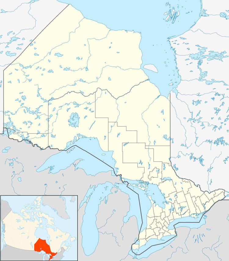
The Ivanhoe River is a river in Cochrane District and Sudbury District in Northeastern Ontario, Canada. The river is in the James Bay drainage basin and is a left tributary of the Groundhog River.
Contents
- Northern ontario canoe routes trip ivanhoe river middle part 2011
- Boat in camps ontario canada northern walleye fishing ivanhoe river
- CourseEdit
- EconomyEdit
- TributariesEdit
- References
Boat in camps ontario canada northern walleye fishing ivanhoe river
CourseEdit
For a map showing the river course, see this reference.
The river begins at an unnamed lake in geographic Halsey Township in the Unorganized North Part of Sudbury District, and heads northeast under the Canadian Pacific Railway transcontinental main line — used at this point by Via Rail Sudbury – White River train — between the community of Nemegos to the west and Tophet to the east. It continues northeast through South Ivanhoe Lake and Halsey Lake, takes in the right tributary Kinogama River and reaches Ivanhoe Lake, substantially encompassed by Ivanhoe Lake Provincial Park.
The river has two outlets from Ivanhoe Lake: Ivanhoe River (Old Channel), the left (west) channel at the northwest of the lake, and Ivanhoe River (New Channel), the right channel (east) at the northeast.
The two channels then recombine, and the river heads north, again under the CNR line, takes in the left tributary Shawmere River, passes through The Chutes, a natural water chute, and passes into the Unorganized North Part of Cochrane District at the geographic Nova Township. It turns northeast, takes in the left tributary Paypeeshek River, and reaches its mouth at the Groundhog River in geographic Montcalm Township; the Groundhog River flows via the Mattagami River and Moose River to James Bay.
EconomyEdit
Two small hydroelectric generating stations with associated dams and works have been proposed by Xeneca Power Development for sites at The Chutes and 30 kilometres (19 mi) downstream at Third Falls; the former project has completed the environmental assessment phase. The two generating stations have a proposed capacity of 8.7 MW and the projects have received feed-in-tariff contracts from the Ontario Power Authority.
TributariesEdit
Two channels recombine
Bifurcation from Ivanhoe Lake into Ivanhoe River (Old Channel) and Ivanhoe River (New Channel)