
Time zone EST (UTC-5) Population 2,306 (2011) | Area 35,481 km² Area code 705 Postal code FSA P0M | |
 | ||
Weather 1°C, Wind N at 5 km/h, 76% Humidity | ||
Unorganized North Sudbury District is an unorganized area in the Canadian province of Ontario, comprising all portions of the Sudbury District which are not organized into incorporated municipalities. Despite its name, there is no longer an accompanying "South Part", as that subdivision has subsequently been incorporated into municipalities and Statistics Canada has not renamed the North Part.
Contents
The subdivision consists of three non-contiguous areas, totalling 35,594.71 square kilometres, or about 92% of the district. It had a population of 2,306 in the Canada 2011 Census.
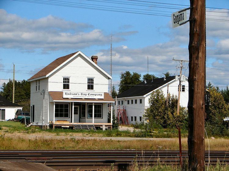
Communities
Ghost towns
Demographics
Population:
Mother tongue:
References
Unorganized North Sudbury District Wikipedia(Text) CC BY-SA