
Length 644 km | Route number(s) B87 | |
 | ||
Via Cobar, Mount Hope, Hillston, Goorawin, Merriwagga, Goolgowi, Griffith, Willbriggie, Darlington Point, Waddi, Coleambally Major settlements Cobar Shire, Mount Hope, Hillston, Goorawin | ||
Kidman way heading to griffith
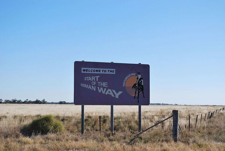
The Kidman Way is a state rural road in the western Riverina and western region of New South Wales, Australia. The 644-kilometre (400 mi) highway services the Murrumbidgee Irrigation Area and outback communities and links the Newell Highway with the Sturt, Mid-Western, Barrier, Mitchell and Kamilaroi highways. The road carries the State Route B87 shield for its entire route, with its northern terminus at Bourke and its southern terminus at a junction with the Newell Highway, situated 16 kilometres (9.9 mi) north of Jerilderie. The Kidman Way is fully sealed and is accessible by two or four-wheel drive.
Contents
- Kidman way heading to griffith
- Farm 1802c whites road 1802b kidman way 1802e siviour lane tharbogang
- Route
- References
The Kidman Way draws its history from the stock routes that linked cattle stations in the region, many of which were owned by Sir Sidney Kidman, an Australian pastoralist and philanthropist.
Farm 1802c whites road 1802b kidman way 1802e siviour lane tharbogang
Route
The Kidman Way runs generally north-south, roughly aligned to the state border between New South Wales and South Australia, approximately 140 kilometres (87 mi) west of the geographic centre of New South Wales.
The southern junction of the Kidman Way is located at a road junction with the Newell Highway, located 16 kilometres (9.9 mi) north of Jerilderie. From this point the Kidman Way heads north, its only major intersection being with the Sturt Highway at Waddi, as it moves north through the lush Riverina area towards Griffith, passing through the small towns of Coleambally and Darlington Point. Here the Kidman Way crosses the Murrumbidgee River. Griffith is a large regional centre, in the heart of the Murrumbidgee Irrigation Area, surrounded by vineyards, orchards and ricefields. From Griffith, the Kidman Way heads north through the vast, open western plains to Cobar where it meets the Barrier Highway, running east-west. This is where the outback begins, with plenty of kangaroos and emus and giant tumbleweeds roll across the roads. The first 100 kilometres (62 mi) or more from that point are still fairly green passing through towns such as Goolgowi where a roundabout marks its junction with the Mid-Western Highway; as it continues north to Merriwagga and then Hillston. The Kidman Way shares a concurrency with the Lachlan Valley Way for approximately 35 kilometres (22 mi), before that road heads east to Lake Cargelligo and the Kidman Way heads north to Cobar via long, straight, unbroken stretches of road, except for the village of Mount Hope. This section of road does not support any fuel stations. The Kidman Way continues 160 kilometres (99 mi) through mallee and semi-arid woodlands on to Cobar, once famous for copper. From there the road leads to Bourke, where it meets the Mitchell Highway at its northern terminus; and connects to the Kamilaroi Highway.
Additional stock routes, not officially designated as part of the Kidman Way, provide access to south western and central western Queensland and ultimately, via various roads, to Normanton on the Gulf of Carpentaria.