
Elevation 223 m | Local time Monday 12:17 PM | |
 | ||
Weather 19°C, Wind NE at 23 km/h, 90% Humidity | ||
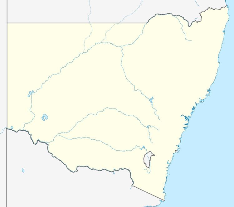
Mount Hope (elevation 223 m) is a settlement in western New South Wales, Australia. It is situated on the Kidman Way, 94 kilometres north of Hillston and 160 km south of Cobar.
Contents
Map of Mount Hope NSW 2877, Australia
History
The town was once a busy copper mining town in the 1890-1920s. At the 2006 census, Mount Hope had a population of 53 people. Much of the township was destroyed in a major bushfire in the 1950s. Travellers are warned that there is no fuel available in this village. It has its own crossover air strips still being used today. The only visible business open in the village is the Royal Hotel, commonly known as the "Mount Hope Pub".
Environment
Blocks of remnant mallee to the south, west and north-west of the town are included in the 2500 km2 Central NSW Mallee Important Bird Area because of its significance for bird conservation, especially of the malleefowl and red-lored whistler.