
Population 2,876 (2015 est) Area 41,679 km² Region Orana | ||
 | ||
Mayor Barry Hollman (Independent) | ||
Bourke Shire is a local government area in the Orana region of New South Wales, Australia. The Shire is located adjacent to the Darling River, which is known as the Barwon River upstream from Bourke; and located adjacent to the Mitchell Highway. The northern boundary of the Shire is located adjacent to the border between New South Wales and Queensland. The Shire is a wool and beef producing area.
Contents
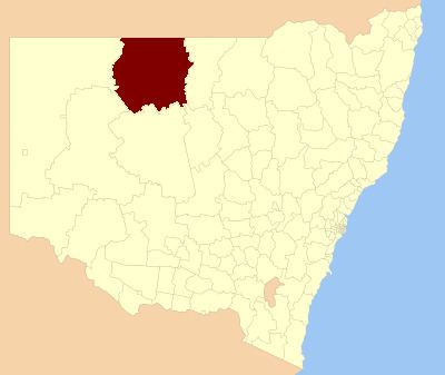
- Map of Bourke NSW Australia
- Main towns and villages
- Incomes
- Current composition and election method
- References
Map of Bourke, NSW, Australia
The Mayor of Bourke Shire Council is Cr. Barry Hollman, an independent politician.
Main towns and villages
Bourke Shire includes Bourke and the very small outback towns of Byrock, Enngonia, Fords Bridge, Wanaaring and Louth.
Incomes
According to the Australian Bureau of Statistics during 2003-04 there:
Current composition and election method
Bourke Shire Council is composed of ten Councillors elected proportionally as a single ward. All Councillors are elected for a fixed four-year term of office. The Mayor is elected by the Councillors at the first meeting of the Council. The most recent election was held on 10 September 2016, and the makeup of the Council is as follows:
The current Council, elected in 2016, in order of election, is: