Type Highway | Length 598 km | |
 | ||
Formerroute number Major cities Gunnedah, Narrabri, Boggabri, Wee Waa, Quirindi, Walgett, Brewarrina, Burren Junction, Cryon Major settlements Brewarrina, Walgett, Cryon, Burren Junction | ||
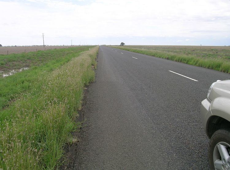
The Kamilaroi Highway is a 605-kilometre (376 mi) state highway located in the north-western region of New South Wales, Australia. The highway's northwestern terminus is at a junction with the Mitchell Highway at Bourke. Its southeastern terminus is a junction with the New England Highway north of Willow Tree.
Contents
Map of Kamilaroi Hwy, New South Wales, Australia
The highway is named after the Kamilaroi Indigenous Australian people who live in the area.
History
It was formerly signed National Route 37, poorly west of Walgett. This route was replaced by the alpha numeric route number B51 between the New England Highway and Newell Highway, before continuing to Walgett unnumbered. Here at its junction with the Castlereagh Highway it becomes the B76, and continues along the formerly largely unsigned part of National Route 37 towards Bourke and the Mitchell Highway. Its status as a highway is fairly new, having only become State Highway 29 in February 1999, the same point in time that it was named the Kamilaroi Highway.
The Kamilaroi Highway crosses the Bogan River 43 kilometres (27 mi) east of Bourke.
The Brewarrina Lift Bridge which was built in 1888 over Barwon River on the Kamilaroi Highway has been assessed as being of State significance.
Route attractions and features
Approximately 5 kilometres (3 mi) north of Boggabri is a spectacular landmark called Gin’s Leap, that was known in the days of Cobb and Co as "The Rock". It is said that a young Aboriginal girl, being pursued by white settlers on horseback, jumped to her death rather than be raped and shot like others in her family.
