
 | ||
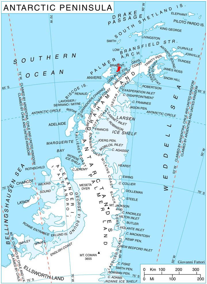
Doriones Saddle (Bulgarian: седловина Дорионес, ‘Sedlovina Doriones’ se-dlo-vi-'na do-ri-'o-nes) is the ice-covered saddle of elevation 900 m on Brabant Island in the Palmer Archipelago, Antarctica, connecting Avroleva Heights on the east to Taran Plateau in Stribog Mountains on the west. It is part of the glacial divide between Laënnec Glacier to the north and Svetovrachene Glacier to the south.
Contents
The saddle is named after the ancient Roman station of Doriones in Western Bulgaria.
Location
Doriones Saddle is locted at 64°13′15″S 62°12′05″W, which is 730 m west-southwest of Opizo Peak, 10.8 km northeast of Mount Parry and 6.85 km southeast of Blesna Peak. British mapping in 1980 and 2008.
Maps
References
Doriones Saddle Wikipedia(Text) CC BY-SA