
 | ||
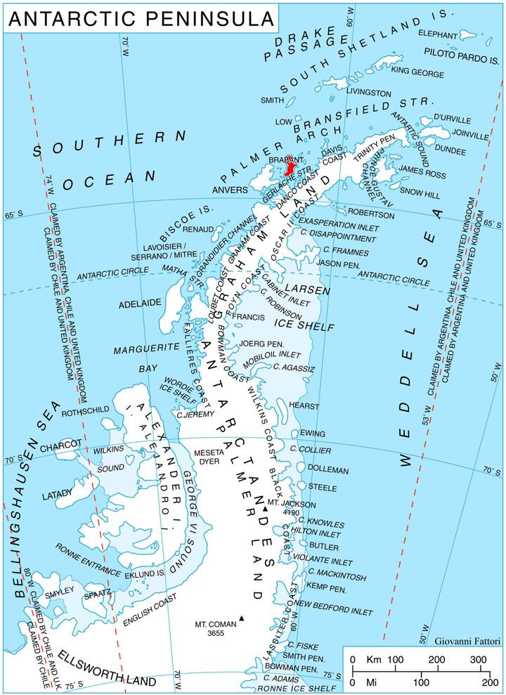
Opizo Peak (Bulgarian: връх Опизо, ‘Vrah Opizo’ \'vr&h o-'pi-zo) is the mostly ice-covered peak of elevation 1100 m near the west extremity of Avroleva Heights on Brabant Island in the Palmer Archipelago, Antarctica. It has steep and partly ice-free north-northeast slopes, and surmounts Mitev Glacier to the northeast, Svetovrachene Glacier to the south and Doriones Saddle to the west-southwest.
Contents
The peak is named after the ancient Roman station of Opizo in Southern Bulgaria.
Location
Opizo Peak is located at 64°13′02″S 62°11′20″W, which is 5.84 km southwest of Petroff Point, 3.2 km west by north of Mount Ghiuselev and 11.5 km northeast of Mount Parry. British mapping in 1980 and 2008.
Maps
References
Opizo Peak Wikipedia(Text) CC BY-SA