Elevation 2,520 m First ascent date October 30, 1984 | Prominence 2,520 m Listing Ultra-prominent peak | |
 | ||
Location | ||
Mount Parry is a mountain in Stribog Mountains, Antarctica with an elevation of 2,520 metres (8,268 ft). Mount Parry rises eastward of Minot Point and dominates the central portion of Brabant Island, in the Palmer Archipelago. It has steep and partly ice-free north and west slopes, and surmounts Djerassi Glacier to the north-northwest, Mackenzie Glacier to the east, Balanstra Glacier to the south-southeast and Pirogov Glacier to the southwest.
Contents
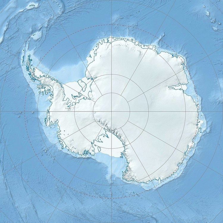
Map of Mount Parry, Antarctica
Mount Parry was first ascended by the British Joint Services Expedition led by John Furse on 30 October 1984.
The peak appears to have been named by Captain Henry Foster, Royal Navy, of the Chanticleer expedition in 1829 and since has gained international usage.
Maps
References
Mount Parry Wikipedia(Text) CC BY-SA
