
 | ||
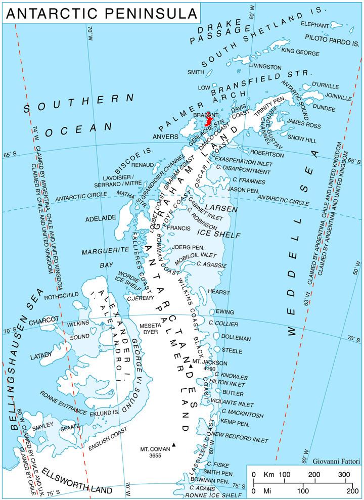
Laënnec Glacier (64°12′S 62°13′W) is a glacier 3 nautical miles (6 km) long draining the northeast slopes of Stribog Mountains and the northwest slopes of Avroleva Heights, and flowing northeast into Hill Bay on the east side of Brabant Island, in the Palmer Archipelago, Antarctica.
Contents
Map of La%C3%ABnnec Glacier, Antarctica
The glacier was photographed by Hunting Aerosurveys Ltd in 1956–57, and mapped from these photos in 1959. It was named by the UK Antarctic Place-Names Committee for René Laennec, the French inventor of the stethoscope and a pioneer investigator of chest diseases.
Maps
References
Laënnec Glacier Wikipedia(Text) CC BY-SA