
 | ||
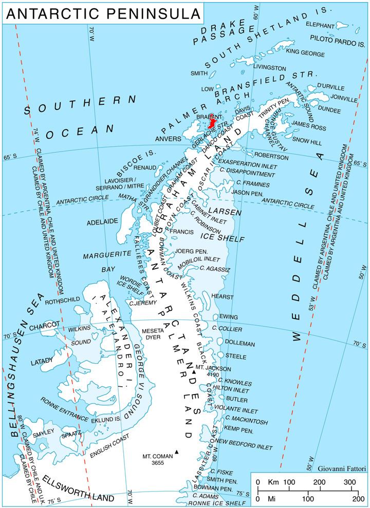
Avroleva Heights (Bulgarian: възвишения Авролева, ‘Vazvisheniya Avroleva’ v&-zvi-'she-ni-ya a-vro-'le-va) are the mostly ice-covered heights rising to 1100 m on the east coast of Brabant Island in the Palmer Archipelago, Antarctica. They extend 7.3 km in north-south direction from Hill Bay to Svetovrachene Glacier, and 7.3 km in east-west direction from Mitchell Point to Doriones Saddle, which saddle connects the heights to Taran Plateau in Stribog Mountains. The heights have steep and partly ice-free north and east slopes.
Contents
Avroleva is the medieval name of a mountain in Southeastern Bulgaria.
Location
Avroleva Heights are centred at 64°13′10″S 62°08′50″W. British mapping in 1980 and 2008.
Maps
References
Avroleva Heights Wikipedia(Text) CC BY-SA