
 | ||
Stribog Mountains (Bulgarian: планина Стрибог, ‘Planina Stribog’ pla-ni-'na 'stri-bog) is the principal mountain system of Brabant Island in the Palmer Archipelago, Antarctica rising to 2520 m (Mount Parry). The feature is 40 km long in north-south direction and 15 km wide, connected to Stavertsi Ridge to the northeast by Viamata Saddle, to Avroleva Heights to the east by Doriones Saddle, and to Solvay Mountains to the south by Aluzore Gap. It is heavily glaciated, with steeper and partly ice-free west slopes.
Contents
The mountains are named after the Slavic god of wind, ice and cold Stribog.
Location
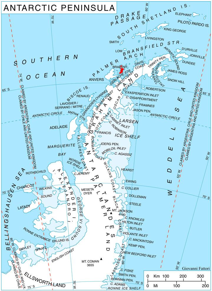
Stribog Mountains are centred at 64°12′00″S 62°20′00″W. British mapping in 1980 and 2008.
Maps
References
Stribog Mountains Wikipedia(Text) CC BY-SA