
 | ||
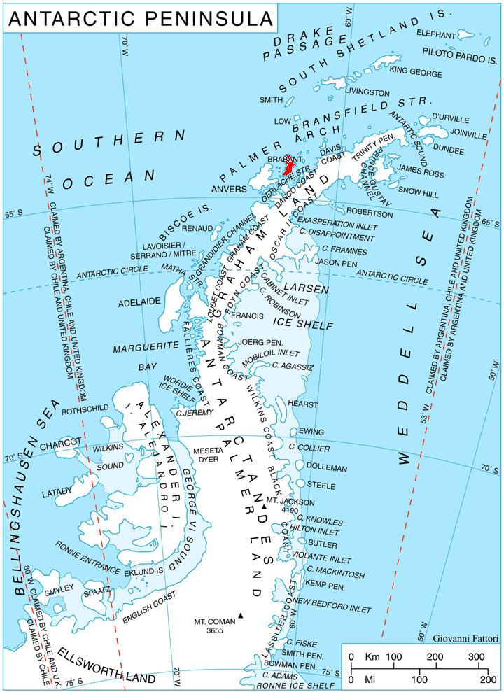
Blesna Peak (Bulgarian: връх Блесна, ‘Vrah Blesna’ \'vr&h 'ble-sna) is the ice-covered peak of elevation 1300 m in the northeast part of Stribog Mountains on Brabant Island in the Palmer Archipelago, Antarctica. It surmounts Paré Glacier to the west and north, and Laënnec Glacier to the southeast.
Contents
The peak is named after the medieval fortress of Blesna in Southern Bulgaria.
Location
Blesna Peak is located at 64°10′23″S 62°17′25″W, which is 7.4 km east of Mount Rokitansky, 7.15 km south of Virchow Hill, 6.12 km southwest of Mount Cabeza, 9.82 km west by north of Petroff Point and 6.95 km northwest of Opizo Peak. British mapping in 1980 and 2008.
Maps
References
Blesna Peak Wikipedia(Text) CC BY-SA