
Width 30 km (19 mi) Elevation 2,520 m | Length 59 km (36.7 mi) Highest elevation 2,520 m (8,270 ft) Population Uninhabited | |
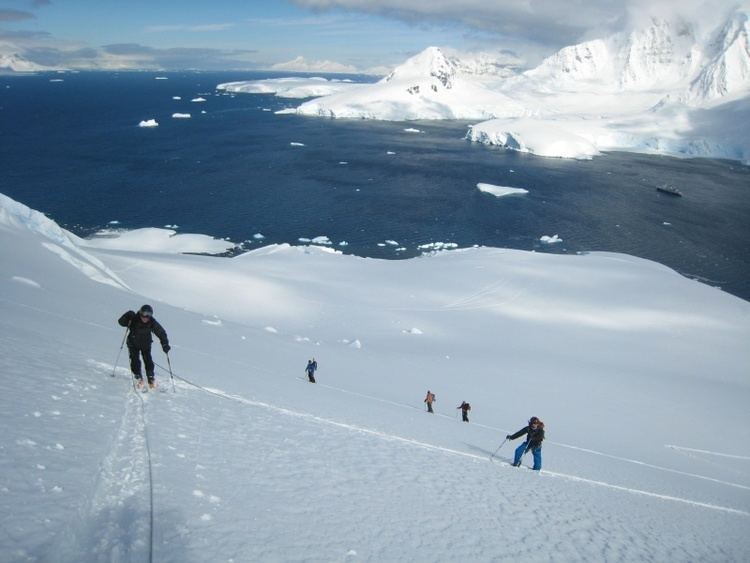 | ||
Brabant Island is the second largest island of the Palmer Archipelago within the British Antarctic Territory, lying between Anvers Island and Liège Island. Brabant Island is 59 km (37 mi) long north-south, 30 km (19 mi) wide, and rises to 2,520 m (8,268 ft) in Mount Parry. The interior of the island is occupied by two mountain ranges, Solvay Mountains (Cook Summit, 1590 m) in its southern part and Stribog Mountains (summit Mount Parry) in its central and northern parts.
Contents
Map of Brabant, Antarctica
It was named by the Belgian Antarctic Expedition (1897–1899) under Adrien de Gerlache, who named it after the Belgian province of Brabant, in recognition of the support given to the expedition by its citizens.
A paper summarizing the Joint Services expedition of 1984–1985 describes the island as "notoriously inhospitable" and states that there is evidence for only six visits between the discovery in 1898 and 1984. Members of the expedition overwintered there in 1984–1985, and made the first ascent of Mount Parry.