
 | ||
Contraflow lane reversal is the altering of the normal flow of traffic, typically on a controlled-access highway (such as a freeway or motorway), to either aid in an emergency evacuation (the most common usage of the term in the United States) or, as part of routine maintenance activities, to facilitate widening or reconstruction of one of the highway's carriageways (the most common usage in the United Kingdom).
Contents
- For use in emergency evacuation
- Hurricane evacuation
- Highway reconstruction
- Single track roads
- Two lane arterials
- Roads with four or more lanes
- Freeways and motorways
- Sporting events
- References
Usually, the term is used to refer to reversal of lanes which are normally configured for travel in one direction; routinely changing the configuration of reversible lanes (such as during rush hour) is not normally considered contraflow lane reversal.
For use in emergency evacuation
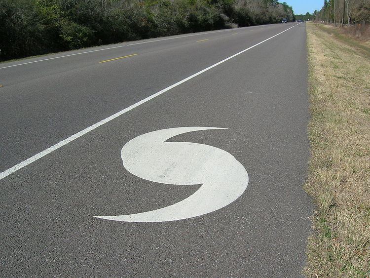
In an emergency evacuation, contraflow lane reversal roughly doubles the number of lanes available for evacuation traffic. Crossover sections are used to move outgoing traffic to these lanes. All incoming traffic is blocked until the end of the evacuation.
Contraflow lane reversal is usually done on freeways and other controlled-access roadways; however, some examples listed below (particularly in South Carolina) are divided and undivided roadways. Use of contraflow lane reversal is generally considered to be an emergency measure, as the contraflow lanes (and any associated ramps at interchanges) lack proper signage, signals, and other traffic control devices needed to orderly conduct traffic in the opposite direction. Generally, a significant number of police officers or other officials are needed to manually direct traffic during a lane reversal (especially at interchanges, where ramp traffic in the wrong direction must intersect with other roadways operating normally).
Hurricane evacuation
Beginning in the 1990s, many states in the Southeastern United States adopted hurricane evacuation routes from coastal areas using contraflow lane reversals on Interstate Highways. State highway departments have coordinated on plans for traffic direction with state highway patrol agencies, constructed highway median crossovers, and installed signage for drivers and barriers and swing arms to inhibit wrong-way collisions.
Most evacuation plans involve only a single state; however, the states of Louisiana and Mississippi have developed coordinated plans to evacuate the New Orleans metropolitan area using Interstate 55 and Interstate 59.
Current contraflow evacuation plans exist for:
Highway reconstruction
When roads are undergoing construction amid heavy traffic, one lane of traffic may be blocked and another lane reversed.
Single track roads
Single track roads are often closed during reconstruction.
Two-lane arterials
A construction worker or police officer directs traffic with a "Stop/Slow Paddle", which is a sign displaying "STOP" on one side and "SLOW" on the other. The sign is turned, and the other side proceeds. Traffic signals are also sometimes used, especially during bridge construction or any situation in which a lane must be closed during times when construction crews are not at work. Other cases include treating the street as a temporary one-way street in areas in which several nearby parallel streets are available as a detour for the opposing side.
Roads with four or more lanes
If road construction necessitates the complete closure of one half of a road with four or more lanes, two lanes of traffic may be shifted to the other roadway. If the road being constructed is a highway, the used half is called a semi-highway.
Freeways and motorways
When controlled-access highways undergo reconstruction, both sides are often reduced to one lane. In some cases, traffic may be shifted onto one half, making it a temporary two-lane freeway corridor. An example of this is Interstate 10 in Arizona, in which eastbound traffic is reduced to one lane and shifted onto the westbound half of the road. Another technique is to treat the rightmost hard shoulder as a travel lane. On a six-lane freeway (i.e., one containing three lanes in each direction), a third lane may be kept open for the busier direction, or the shoulder may be opened to allow for four lanes of traffic but with little or no shoulder space; emergency breakdown areas may be added. In these situations, temporary "YIELD" or "STOP" signs are usually posted on merge ramps on freeways, expressways, and uncontrolled roads with interchanges. In such cases, opposing directions are separated by jersey barriers, or in rare circumstances, traffic cones.
Sporting events
At the beginning and end of major sporting events, the center turn lanes of roads around a stadium or arena may be used to accommodate event traffic. Because these lanes are typically not subject to lane control, this can be considered a limited form of contraflow reversal.
Twice annually, upon completion of NASCAR races at New Hampshire Motor Speedway in Loudon, New Hampshire, a form of contraflow lane reversal, referred to as "borrow a lane" is conducted on Interstate 93 in Concord, New Hampshire. In this case, the left lane of northbound Interstate 93 is temporarily "borrowed" to use as a third southbound lane. Southbound traffic has the option of transferring to the "borrowed" lane north of the Interstate 393 interchange and can travel southbound in the left northbound lane to allow a bypass of heavy race traffic entering I-93 southbound from I-393 at Exit 15. The two lanes of traffic in the normal southbound lanes, and traffic in the bypass "borrowed" lane rejoin on the southbound side of the interstate just south of the Interstate 89 interchange in Bow.
Contraflow lane reversal is also used for NASCAR Sprint Cup Series and IndyCar Series races at Pocono Raceway in Long Pond, Pennsylvania. For these races, two-lane Pennsylvania Route 115 becomes one-way southbound between Interstate 80 and the track the morning of the race until everyone has arrived at the track. After the race concludes, PA 115 becomes one-way northbound between Pocono Raceway and I-80 until everyone has left the track.