
Settled 1922 Time zone Eastern (EST) (UTC-5) Postal code P0L 2G0 Local time Monday 7:40 PM Mayor Johanne Baril | Incorporated 1973 Website www.valharty.ca Population 817 (2011) Area code(s) 705/249 | |
 | ||
Weather 6°C, Wind S at 14 km/h, 77% Humidity | ||
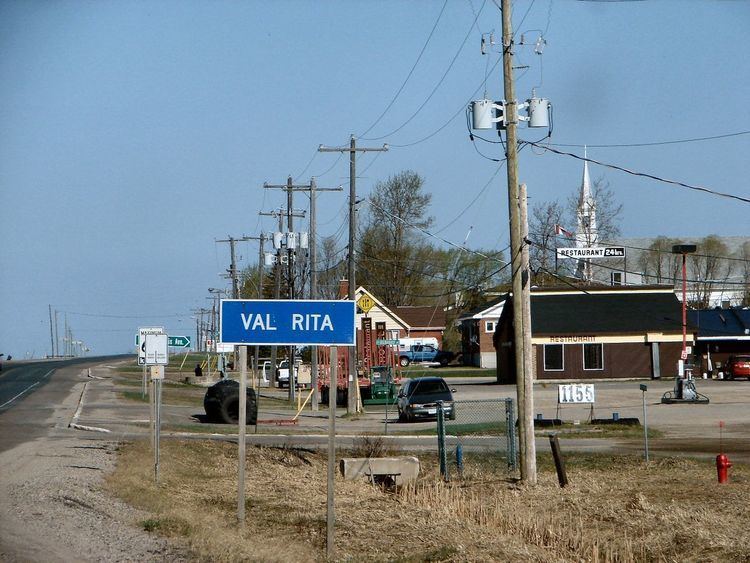
Val Rita-Harty is a township in the Canadian province of Ontario, located in the Cochrane District.
Contents
Map of Val Rita-Harty, ON, Canada
The township consists of two communities, Val Rita and Harty, both located along Highway 11 between Opasatika and Kapuskasing. It was incorporated as a township in 1973, following a failed community effort in 1964 to request incorporation as a municipality.
Demographics
Population:
Mother tongue:
References
Val Rita-Harty Wikipedia(Text) CC BY-SA