
ZIP codes 51334, 51344 Elevation 402 m Local time Tuesday 9:27 AM | Time zone CST (UTC-6) GNIS feature ID 0467575 Area 93.2 km² Population 459 (2000) | |
 | ||
Weather 3°C, Wind W at 39 km/h, 55% Humidity | ||
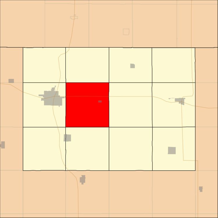
Center Township is one of twelve townships in Emmet County, Iowa, USA. As of the 2000 census, its population was 459.
Contents
- Map of Center IA 51334 USA
- History
- Geography
- Cities towns villages
- Adjacent townships
- Cemeteries
- Major highways
- Airports and landing strips
- School districts
- Political districts
- References
Map of Center, IA 51334, USA
History
Center Township was created in 1876. It was named from its central location.
Geography
According to the United States Census Bureau, Center Township covers an area of 36.45 square miles (94.41 square kilometers); of this, 36.03 square miles (93.32 square kilometers, 98.85 percent) is land and 0.42 square miles (1.09 square kilometers, 1.15 percent) is water.
Cities, towns, villages
Adjacent townships
Cemeteries
The township contains Swan Lake Village Cemetery.
Major highways
Airports and landing strips
School districts
Political districts
References
Center Township, Emmet County, Iowa Wikipedia(Text) CC BY-SA