
Country United States ZIP codes 50531, 51334 Elevation 392 m Local time Friday 9:52 PM | Time zone CST (UTC-6) GNIS feature ID 0468248 Area 74.08 km² Population 220 (2000) | |
 | ||
Weather 2°C, Wind NW at 43 km/h, 75% Humidity | ||
Lincoln Township is one of twelve townships in Emmet County, Iowa, USA. As of the 2000 census, its population was 220.
Contents
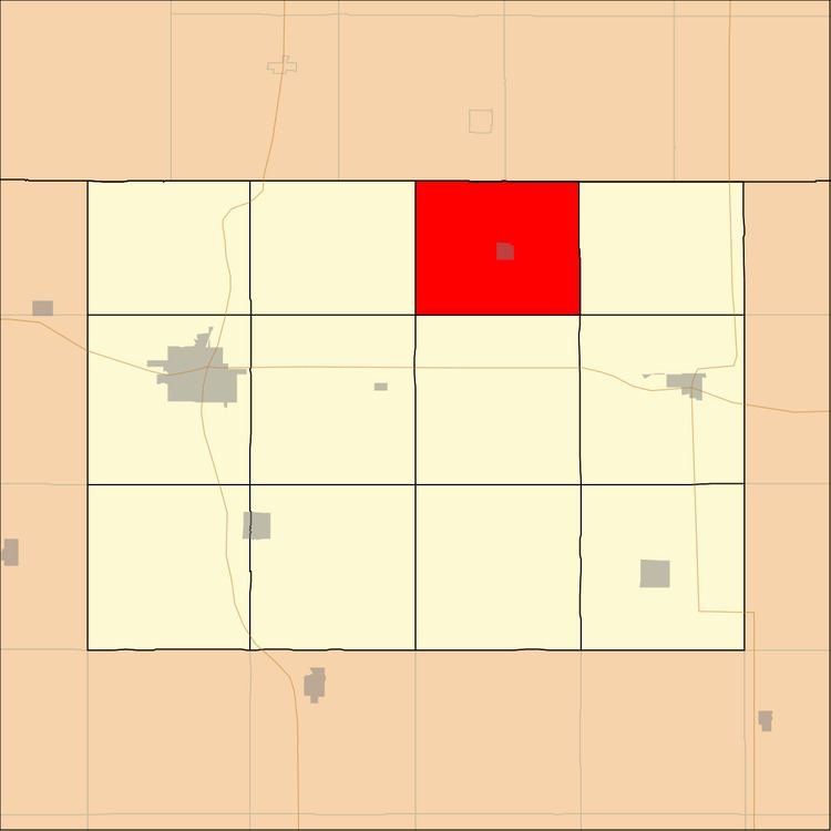
- Map of Lincoln IA USA
- History
- Geography
- Cities towns villages
- Adjacent townships
- Cemeteries
- Rivers
- Lakes
- Landmarks
- School districts
- Political districts
- References
Map of Lincoln, IA, USA
History
Lincoln Township was created in 1887. It was named for Abraham Lincoln, sixteenth President of the United States.
Geography
According to the United States Census Bureau, Lincoln Township covers an area of 28.6 square miles (74.08 square kilometers); of this, 27.14 square miles (70.29 square kilometers, 94.88 percent) is land and 1.46 square miles (3.79 square kilometers, 5.12 percent) is water.
Cities, towns, villages
Adjacent townships
Cemeteries
The township contains these two cemeteries: Lincoln Township and Palestine.
Rivers
Lakes
Landmarks
School districts
Political districts
References
Lincoln Township, Emmet County, Iowa Wikipedia(Text) CC BY-SA