
ZIP codes 51334, 51342, 51365 Elevation 386 m Local time Saturday 12:57 AM | Time zone CST (UTC-6) GNIS feature ID 0468033 Area 92.49 km² Population 461 (2000) | |
 | ||
Weather -8°C, Wind NE at 14 km/h, 50% Humidity | ||
High Lake Township is one of twelve townships in Emmet County, Iowa, USA. As of the 2000 census, its population was 461.
Contents
- Map of High Lake IA USA
- Geography
- Cities towns villages
- Adjacent townships
- Cemeteries
- Major highways
- Airports and landing strips
- Lakes
- Landmarks
- School districts
- Political districts
- References
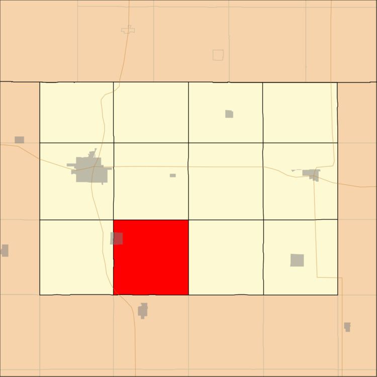
Map of High Lake, IA, USA
Geography
According to the United States Census Bureau, High Lake Township covers an area of 35.71 square miles (92.5 square kilometers); of this, 33.38 square miles (86.47 square kilometers, 93.48 percent) is land and 2.33 square miles (6.03 square kilometers, 6.52 percent) is water.
Cities, towns, villages
Adjacent townships
Cemeteries
The township contains these two cemeteries: High Lake and Wallingford.
Major highways
Airports and landing strips
Lakes
Landmarks
School districts
Political districts
References
High Lake Township, Emmet County, Iowa Wikipedia(Text) CC BY-SA