
ZIP codes 51334, 51364 Elevation 435 m Local time Wednesday 1:28 AM | Time zone CST (UTC-6) GNIS feature ID 0467798 Area 93.63 km² Population 7,077 (2000) | |
 | ||
Weather 2°C, Wind W at 48 km/h, 45% Humidity Points of interest | ||
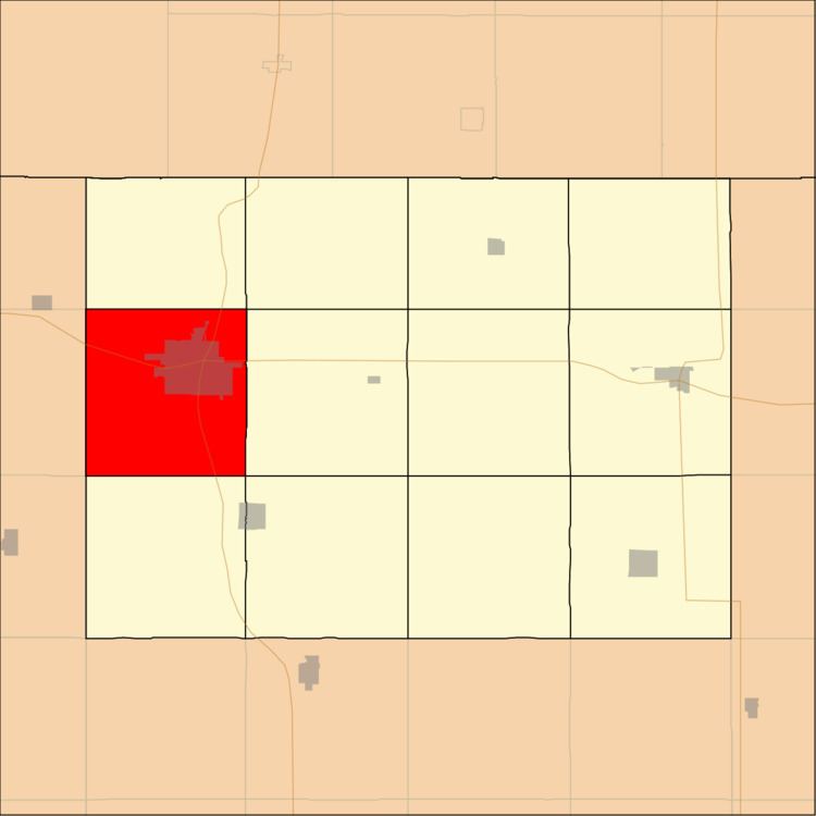
Estherville Township is one of twelve townships in Emmet County, Iowa, USA. As of the 2000 census, its population was 7,077.
Contents
- Map of Estherville IA USA
- History
- Geography
- Cities towns villages
- Adjacent townships
- Cemeteries
- Major highways
- Lakes
- Landmarks
- School districts
- Political districts
- References
Map of Estherville, IA, USA
History
Estherville Township takes its name from the county seat of Estherville. It was created prior to 1876, but the exact date is unknown because the records were destroyed in a courthouse fire.
Geography
According to the United States Census Bureau, Estherville Township covers an area of 36.15 square miles (93.63 square kilometers); of this, 35.81 square miles (92.75 square kilometers, 99.06 percent) is land and 0.34 square miles (0.88 square kilometers, 0.94 percent) is water.
Cities, towns, villages
Adjacent townships
Cemeteries
The township contains these five cemeteries: East Side, Estherville Lutheran, Norwegian, Oak Hill and Saint Patricks.
Major highways
Lakes
Landmarks
School districts
Political districts
References
Estherville Township, Emmet County, Iowa Wikipedia(Text) CC BY-SA