
Country United States Time zone CST (UTC-6) | Elevation 1,329 ft (405 m) ZIP code 51334 | |
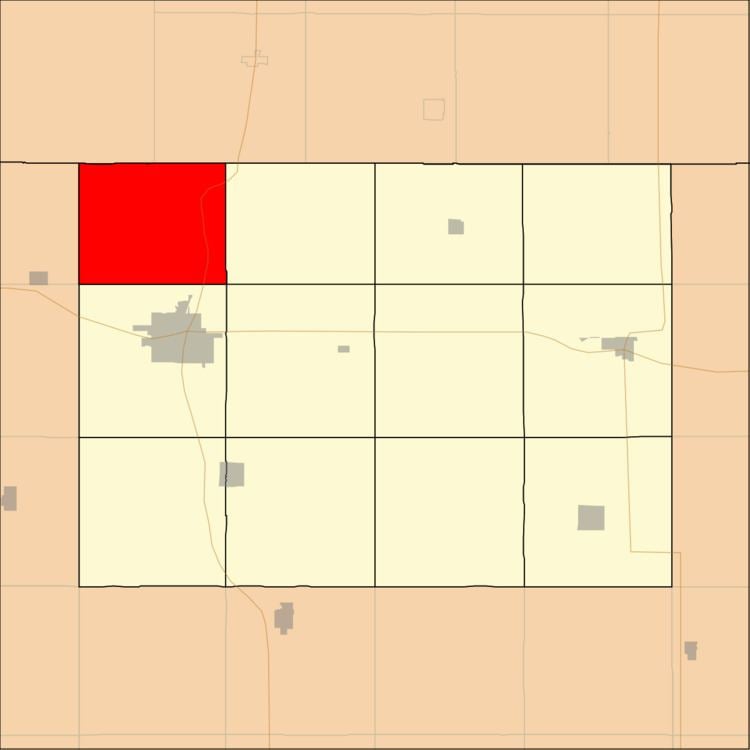 | ||
Emmet Township is one of twelve townships in Emmet County, Iowa, USA. As of the 2000 census, its population was 178.
Contents
History
Emmet Township is named from the county. It was created prior to 1876, but the exact date is unknown because records were lost in a courthouse fire.
Geography
According to the United States Census Bureau, Emmet Township covers an area of 28.42 square miles (73.6 square kilometers); of this, 28.1 square miles (72.78 square kilometers, 98.89 percent) is land and 0.32 square miles (0.82 square kilometers, 1.11 percent) is water.
Adjacent townships
Major highways
Lakes
School districts
Political districts
References
Emmet Township, Emmet County, Iowa Wikipedia(Text) CC BY-SA