
Country United States ZIP codes 50578, 51342, 51365 Elevation 381 m Local time Friday 5:57 PM | Time zone CST (UTC-6) GNIS feature ID 0468089 Area 92.48 km² Population 135 (2000) | |
 | ||
Weather 3°C, Wind NW at 40 km/h, 77% Humidity | ||
Jack Creek Township is one of twelve townships in Emmet County, Iowa, USA. As of the 2000 census, its population was 135.
Contents
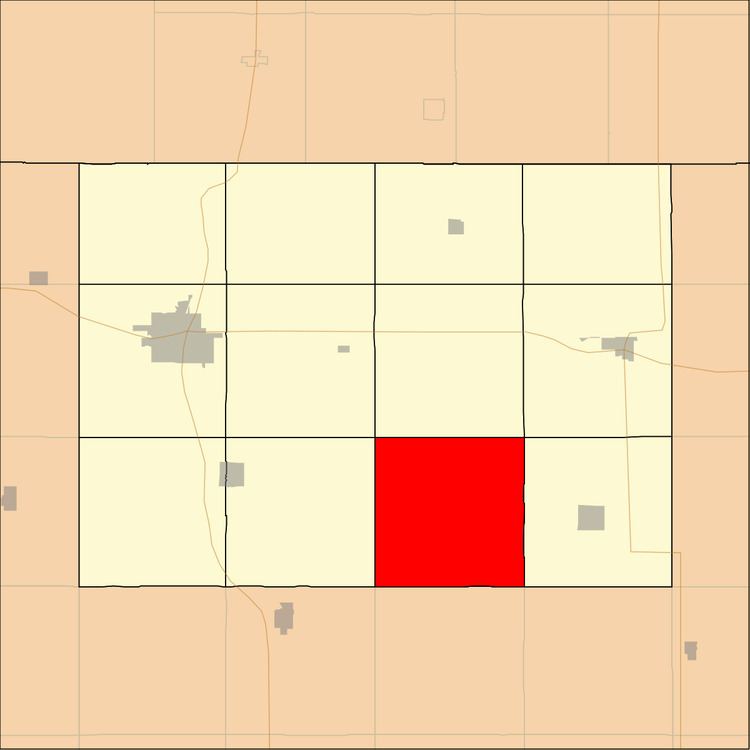
- Map of Jack Creek IA USA
- History
- Geography
- Unincorporated towns
- Extinct towns
- Adjacent townships
- School districts
- Political districts
- References
Map of Jack Creek, IA, USA
History
Jack Creek Township was created in 1883.
Geography
According to the United States Census Bureau, Jack Creek Township covers an area of 35.71 square miles (92.48 square kilometers); of this, 35.67 square miles (92.39 square kilometers, 99.9 percent) is land and 0.03 square miles (0.09 square kilometers, 0.1 percent) is water.
Unincorporated towns
(This list is based on USGS data and may include former settlements.)
Extinct towns
(These towns are listed as "historical" by the USGS.)
Adjacent townships
School districts
Political districts
References
Jack Creek Township, Emmet County, Iowa Wikipedia(Text) CC BY-SA